Gostyń night lights from space
Night Light of Gostyń (Greater Poland) from space (Poland) Src. Average luminocity for 10x10km area is 13.3409% and for 50x50km: 2.1319%.
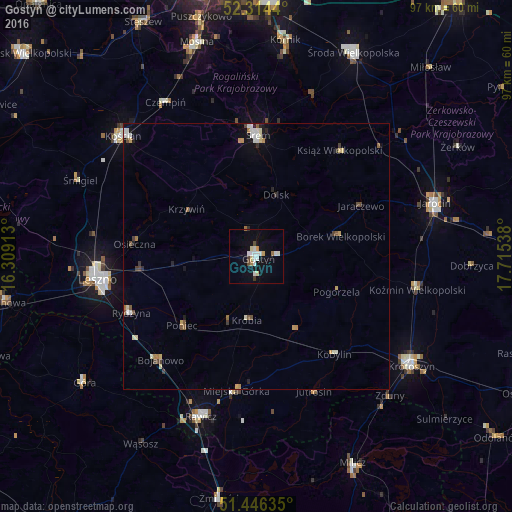
Analysis of Gostyń night lights 2016
Square area 10x10 km:
 2.27%
2.27%90-99
3.79%80-89
1.52%70-79
1.01%60-69
1.14%50-59
0.13%40-49
1.14%30-39
1.01%20-29
0.13%10-19
5.56%0-9
82.32%Square area 50x50 km:
0.29%90-99
0.46%80-89
0.23%70-79
0.25%60-69
0.24%50-59
0.2%40-49
0.3%30-39
0.21%20-29
0.18%10-19
0.63%0-9
97.02%Clear (daylight) street map image can be seen on geolist.org.
Map coordinates:
52° 18' 51.8" North, 16° 18' 32.9" East
51° 52' 56.9" North, 17° 0' 44.1" East
51° 26' 46.9" North, 17° 42' 55.4" East
Some cities around Gostyń sort by population:
• Leszno
30.4 km =18.9 mi,  261°
261°
• Śrem
22.9 km =14.2 mi,  0°
0°
• Krotoszyn
35.7 km =22.2 mi,  124°
124°
• Jarocin
35.1 km =21.8 mi,  73°
73°
• Kościan
33.8 km =21 mi,  312°
312°
• Rawicz
32.1 km =19.9 mi,  199°
199°
• Koźmin Wielkopolski
30.9 km =19.2 mi,  101°
101°
• Czempiń
33.7 km =20.9 mi,  329°
329°
3098625 (p: 20,771)
Sources (retrieved 2019-11-25):
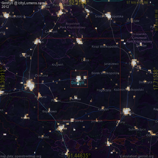
» Earth at Night: Flat Maps 2012, 2016