Wołów night lights from space
Night Light of Wołów (Lower Silesia) from space (Poland) Src. Average luminocity for 10x10km area is 5.528% and for 50x50km: 4.6093%.
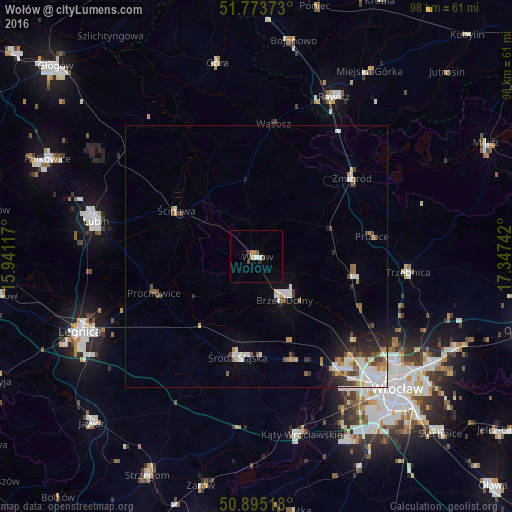
Analysis of Wołów night lights 2016
Square area 10x10 km:
 0.7%
0.7%90-99
0.98%80-89
0%70-79
0.98%60-69
0.7%50-59
0.56%40-49
1.12%30-39
0.56%20-29
0.56%10-19
0%0-9
93.84%Square area 50x50 km:
0.99%90-99
1.03%80-89
0.3%70-79
0.44%60-69
0.46%50-59
0.55%40-49
0.7%30-39
0.42%20-29
0.9%10-19
1.39%0-9
92.82%Clear (daylight) street map image can be seen on geolist.org.
Map coordinates:
51° 46' 25.4" North, 15° 56' 28.2" East
51° 20' 11.6" North, 16° 38' 39.4" East
50° 53' 42.6" North, 17° 20' 50.7" East
Some cities around Wołów sort by population:
• Stabłowice
27 km =16.8 mi,  138°
138°
• Brzeg Dolny
8.3 km =5.2 mi,  147°
147°
• Środa Śląska
19.5 km =12.1 mi,  190°
190°
• Leśnica-Ratyń-Pustki
25.8 km =16 mi, 146°
• Oborniki Śląskie
19.2 km =11.9 mi,  101°
101°
• Żmigród
23.2 km =14.4 mi,  51°
51°
• Ścinawa
17.6 km =10.9 mi,  300°
300°
• Złotniki
27.9 km =17.3 mi, 142°
3081430 (p: 12,276)
Sources (retrieved 2019-11-25):
» Earth at Night: Flat Maps 2012, 2016