Leszno night lights from space
Night Light of Leszno (Greater Poland) from space (Poland) Src. Average luminocity for 10x10km area is 28.8011% and for 50x50km: 2.4973%.
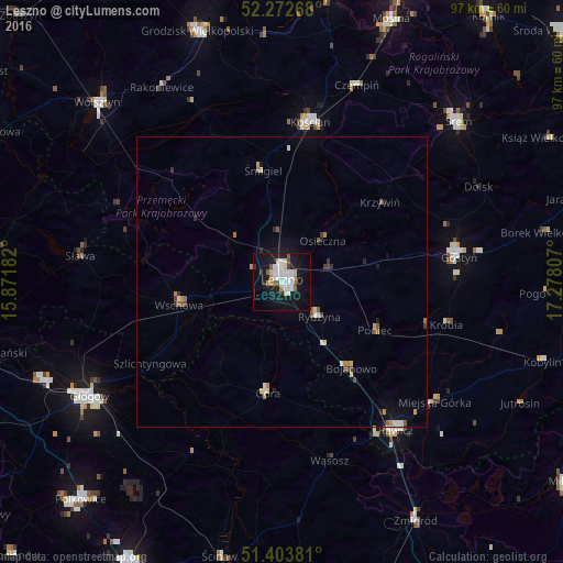
Analysis of Leszno night lights 2016
Square area 10x10 km:
 8.54%
8.54%90-99
5.46%80-89
2.8%70-79
1.68%60-69
2.24%50-59
2.24%40-49
1.12%30-39
1.26%20-29
1.96%10-19
37.25%0-9
35.43%Square area 50x50 km:
0.42%90-99
0.41%80-89
0.25%70-79
0.23%60-69
0.3%50-59
0.3%40-49
0.24%30-39
0.18%20-29
0.26%10-19
1.91%0-9
95.5%Clear (daylight) street map image can be seen on geolist.org.
Map coordinates:
52° 16' 21.6" North, 15° 52' 18.6" East
51° 50' 25.2" North, 16° 34' 29.8" East
51° 24' 13.7" North, 17° 16' 41.1" East
Some cities around Leszno sort by population:
• Głogów
39.1 km =24.3 mi,  239°
239°
• Kościan
28 km =17.4 mi,  10°
10°
• Rawicz
32.3 km =20.1 mi,  142°
142°
• Gostyń
30.4 km =18.9 mi,  81°
81°
• Wschowa
18.1 km =11.2 mi,  258°
258°
• Góra
19.5 km =12.1 mi,  188°
188°
• Śmigiel
19.5 km =12.1 mi,  350°
350°
• Czempiń
36.2 km =22.5 mi,  20°
20°
3093524 (p: 63,565)
Sources (retrieved 2019-11-25):
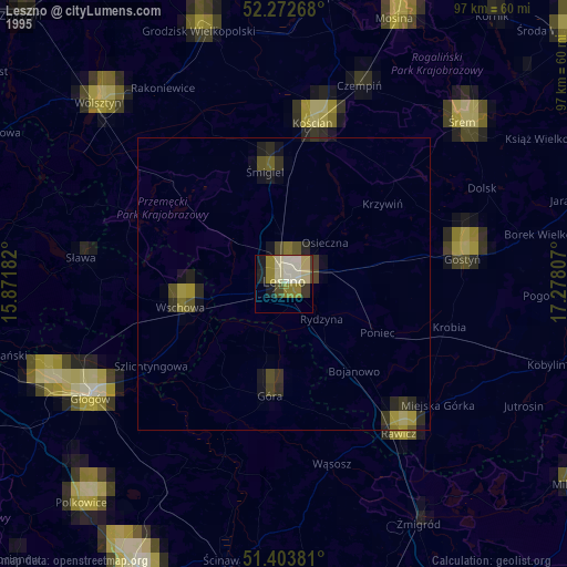
» NASA, Earths city lights 1995
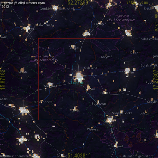
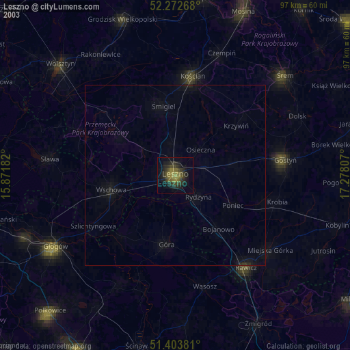
» NASA city lights 2003
» Earth at Night: Flat Maps 2012, 2016