Góra night lights from space
Night Light of Góra (Lower Silesia) from space (Poland) Src. Average luminocity for 10x10km area is 3.451% and for 50x50km: 2.7524%.
Analysis of Góra night lights 2016
Square area 10x10 km:
 0.56%
0.56%90-99
0.56%80-89
1.12%70-79
0.42%60-69
0.7%50-59
0%40-49
0%30-39
0%20-29
0.14%10-19
0.42%0-9
96.08%Square area 50x50 km:
0.48%90-99
0.47%80-89
0.26%70-79
0.28%60-69
0.22%50-59
0.32%40-49
0.27%30-39
0.16%20-29
0.47%10-19
2.25%0-9
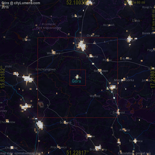
94.82%Clear (daylight) street map image can be seen on geolist.org.
Map coordinates:
52° 6' 1.4" North, 15° 49' 54.6" East
51° 39' 59" North, 16° 32' 5.8" East
51° 13' 41.4" North, 17° 14' 17.1" East
Some cities around Góra sort by population:
• Głogów
31.1 km =19.3 mi,  269°
269°
• Leszno
19.5 km =12.1 mi,  8°
8°
• Polkowice
36.7 km =22.8 mi,  240°
240°
• Rawicz
23.2 km =14.4 mi,  105°
105°
• Wschowa
21.7 km =13.5 mi,  316°
316°
• Wołów
37.4 km =23.2 mi,  168°
168°
• Żmigród
33.9 km =21.1 mi,  130°
130°
• Ścinawa
28.8 km =17.9 mi,  195°
195°
3098898 (p: 12,668)
Sources (retrieved 2019-11-25):
» Earth at Night: Flat Maps 2012, 2016