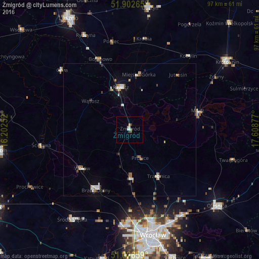
Żmigród night lights from space
Night Light of Żmigród (Lower Silesia) from space (Poland) Src. Average luminocity for 10x10km area is 4.1457% and for 50x50km: 2.3663%.
Analysis of Żmigród night lights 2016
Square area 10x10 km:
 0.53%
0.53%90-99
1.07%80-89
0.53%70-79
0%60-69
1.07%50-59
0%40-49
0.94%30-39
0.67%20-29
0%10-19
0%0-9
95.19%Square area 50x50 km:
0.38%90-99
0.43%80-89
0.15%70-79
0.29%60-69
0.24%50-59
0.23%40-49
0.4%30-39
0.25%20-29
0.22%10-19
0.49%0-9
96.92%Clear (daylight) street map image can be seen on geolist.org.
Map coordinates:
51° 54' 9.5" North, 16° 12' 9.1" East
51° 28' 0.2" North, 16° 54' 20.3" East
51° 1' 35.7" North, 17° 36' 31.6" East
Some cities around Żmigród sort by population:
• Rawicz
16.2 km =10.1 mi,  348°
348°
• Brzeg Dolny
25.5 km =15.8 mi,  212°
212°
• Góra
33.9 km =21.1 mi,  310°
310°
• Wołów
23.2 km =14.4 mi,  231°
231°
• Trzebnica
20.5 km =12.7 mi,  147°
147°
• Milicz
26.2 km =16.3 mi,  75°
75°
• Oborniki Śląskie
18.4 km =11.4 mi,  178°
178°
• Ścinawa
33.8 km =21 mi,  260°
260°
3080058 (p: 6,542)
Sources (retrieved 2019-11-25):
» Earth at Night: Flat Maps 2012, 2016