Legionowo night lights from space
Night Light of Legionowo (Mazovia) from space (Poland) Src. Average luminocity for 10x10km area is 47.5593% and for 50x50km: 29.6481%.
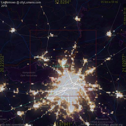

Analysis of Legionowo night lights 2016
Square area 10x10 km:
 7.83%
7.83%90-99
9.09%80-89
4.55%70-79
6.06%60-69
4.42%50-59
6.06%40-49
9.72%30-39
13.51%20-29
20.58%10-19
15.15%0-9
3.03%Square area 50x50 km:
10.97%90-99
6.33%80-89
2.23%70-79
2.42%60-69
2.42%50-59
2.67%40-49
2.86%30-39
3.15%20-29
5.34%10-19
10.24%0-9
51.38%Clear (daylight) street map image can be seen on geolist.org.
Map coordinates:
52° 49' 42.2" North, 20° 13' 24.7" East
52° 24' 5.4" North, 20° 55' 35.9" East
51° 58' 13.5" North, 21° 37' 47.2" East
Some cities around Legionowo sort by population:
• Bielany
12.1 km =7.5 mi,  177°
177°
• Targówek
14.7 km =9.1 mi,  145°
145°
• Białołeka
9.4 km =5.8 mi,  160°
160°
• Żoliborz
15.3 km =9.5 mi, 164°
• Nowy Dwór Mazowiecki
14.6 km =9.1 mi,  282°
282°
• Marki
15.1 km =9.4 mi,  126°
126°
• Łomianki
8 km =5 mi,  200°
200°
• Jabłonna
2.6 km =1.6 mi,  193°
193°
766555 (p: 50,786)
Sources (retrieved 2019-11-25):
» NASA, Earths city lights 1995
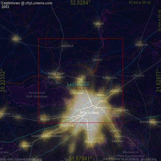
» NASA city lights 2003
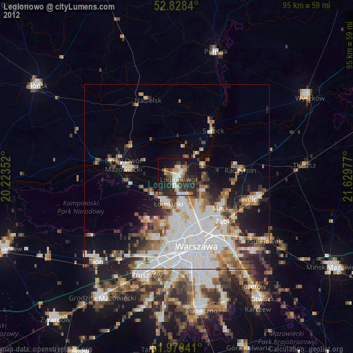
» Earth at Night: Flat Maps 2012, 2016