Olsztynek night lights from space
Night Light of Olsztynek (Warmia-Masuria) from space (Poland) Src. Average luminocity for 10x10km area is 3.9722% and for 50x50km: 3.0878%.
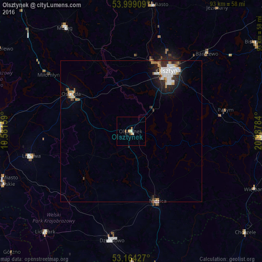
Analysis of Olsztynek night lights 2016
Square area 10x10 km:
 0.25%
0.25%90-99
0.76%80-89
0.51%70-79
1.52%60-69
0.13%50-59
0.38%40-49
0.51%30-39
0%20-29
0.51%10-19
1.01%0-9
94.44%Square area 50x50 km:
0.76%90-99
0.69%80-89
0.16%70-79
0.4%60-69
0.31%50-59
0.2%40-49
0.24%30-39
0.23%20-29
0.91%10-19
1.57%0-9
94.53%Clear (daylight) street map image can be seen on geolist.org.
Map coordinates:
53° 59' 56.7" North, 19° 34' 53.7" East
53° 35' 1.5" North, 20° 17' 5" East
53° 9' 51.4" North, 20° 59' 16.2" East
Some cities around Olsztynek sort by population:
• Ostróda
24.5 km =15.2 mi,  300°
300°
• Szczytno
46.5 km =28.9 mi,  92°
92°
• Działdowo
39 km =24.2 mi,  191°
191°
• Morąg
43.9 km =27.3 mi,  327°
327°
• Nidzica
26.6 km =16.5 mi,  159°
159°
• Dobre Miasto
45.4 km =28.2 mi,  9°
9°
• Lubawa
36.4 km =22.6 mi,  255°
255°
• Barczewo
38.3 km =23.8 mi,  44°
44°
763165 (p: 7,591)
Sources (retrieved 2019-11-25):
» Earth at Night: Flat Maps 2012, 2016