Lidzbark night lights from space
Night Light of Lidzbark (Warmia-Masuria) from space (Poland) Src. Average luminocity for 10x10km area is 3.7146% and for 50x50km: 0.9725%.
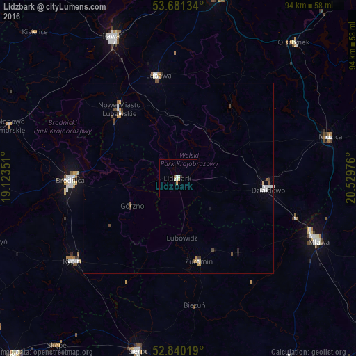
Analysis of Lidzbark night lights 2016
Square area 10x10 km:
 0.38%
0.38%90-99
1.64%80-89
0%70-79
0.88%60-69
0.13%50-59
0.51%40-49
0%30-39
0%20-29
0.51%10-19
0%0-9
95.96%Square area 50x50 km:
0.14%90-99
0.21%80-89
0.03%70-79
0.2%60-69
0.03%50-59
0.13%40-49
0.22%30-39
0.09%20-29
0.06%10-19
0.08%0-9
98.82%Clear (daylight) street map image can be seen on geolist.org.
Map coordinates:
53° 40' 52.8" North, 19° 7' 24.6" East
53° 15' 46.2" North, 19° 49' 35.9" East
52° 50' 24.7" North, 20° 31' 47.1" East
Some cities around Lidzbark sort by population:
• Iława
40.8 km =25.4 mi,  335°
335°
• Mława
40.7 km =25.3 mi,  114°
114°
• Brodnica
28.6 km =17.8 mi,  269°
269°
• Działdowo
23 km =14.3 mi,  96°
96°
• Rypin
35.4 km =22 mi,  231°
231°
• Nowe Miasto Lubawskie
23.3 km =14.5 mi,  318°
318°
• Lubawa
27.3 km =17 mi,  349°
349°
• Żuromin
22.6 km =14 mi,  165°
165°
3093439 (p: 8,177)
Sources (retrieved 2019-11-25):
» Earth at Night: Flat Maps 2012, 2016