Puławy night lights from space
Night Light of Puławy (Lublin) from space (Poland) Src. Average luminocity for 10x10km area is 27.8824% and for 50x50km: 3.4616%.
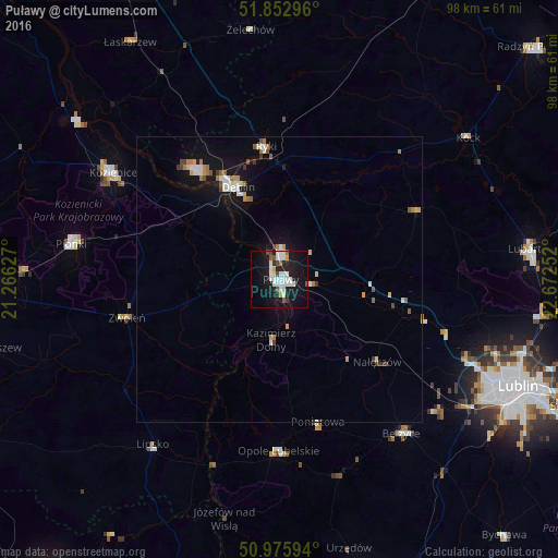
Analysis of Puławy night lights 2016
Square area 10x10 km:
 8.69%
8.69%90-99
7.09%80-89
1.34%70-79
0.53%60-69
0.53%50-59
1.87%40-49
2.94%30-39
1.47%20-29
3.74%10-19
35.16%0-9
36.63%Square area 50x50 km:
0.62%90-99
0.64%80-89
0.29%70-79
0.3%60-69
0.39%50-59
0.36%40-49
0.32%30-39
0.33%20-29
0.21%10-19
3.4%0-9
93.14%Clear (daylight) street map image can be seen on geolist.org.
Map coordinates:
51° 51' 10.7" North, 21° 15' 58.6" East
51° 24' 59.6" North, 21° 58' 9.8" East
50° 58' 33.4" North, 22° 40' 21.1" East
Some cities around Puławy sort by population:
• Kozienice
34.6 km =21.5 mi,  302°
302°
• Dęblin
17.9 km =11.1 mi,  332°
332°
• Poniatowa
28.6 km =17.8 mi,  156°
156°
• Ryki
23.4 km =14.5 mi,  353°
353°
• Opole Lubelskie
29.9 km =18.6 mi,  180°
180°
• Zwoleń
27.3 km =17 mi,  255°
255°
• Bełżyce
34.5 km =21.4 mi,  141°
141°
• Lipsko
36.2 km =22.5 mi,  217°
217°
760924 (p: 49,759)
Sources (retrieved 2019-11-25):
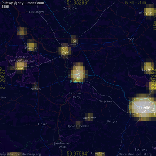
» NASA, Earths city lights 1995
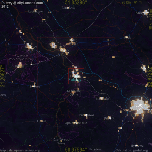
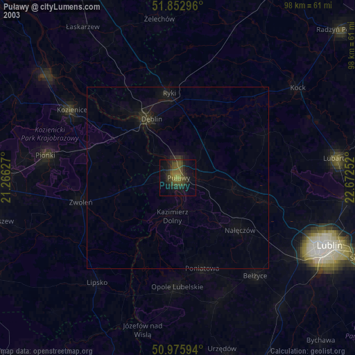
» NASA city lights 2003
» Earth at Night: Flat Maps 2012, 2016