Łódź night lights from space
Night Light of Łódź (Łódź Voivodeship) from space (Poland) Src. Average luminocity for 10x10km area is 95.3655% and for 50x50km: 17.0047%.
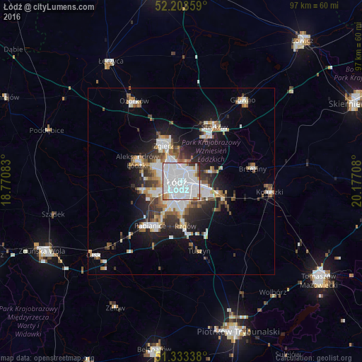
Analysis of Łódź night lights 2016
Square area 10x10 km:
 70.31%
90-99
18.91%80-89
1.96%70-79
2.38%60-69
2.38%50-59
0.14%40-49
1.4%30-39
1.96%20-29
0.56%10-19
0%0-9
0%Square area 50x50 km:
4.9%90-99
3.44%80-89
1.08%70-79
1.34%60-69
1.79%50-59
1.79%40-49
1.76%30-39
2.28%20-29
3.59%10-19
8.58%0-9
69.44%Clear (daylight) street map image can be seen on geolist.org.
Map coordinates:
52° 12' 12.9" North, 18° 46' 15" East
51° 46' 14.1" North, 19° 28' 26.2" East
51° 20' 0.2" North, 20° 10' 37.5" East
Some cities around Łódź sort by population:
• Pabianice
14.4 km =8.9 mi,  214°
214°
• Zgierz
10.5 km =6.5 mi,  333°
333°
• Aleksandrów Łódzki
12.9 km =8 mi,  295°
295°
• Konstantynów Łódzki
10.5 km =6.5 mi,  256°
256°
• Koluszki
24.1 km =15 mi,  98°
98°
• Brzeziny
19.4 km =12.1 mi,  80°
80°
• Tuszyn
18.3 km =11.4 mi,  167°
167°
• Ksawerów
10.9 km =6.8 mi, 206°
3093133 (p: 768,755)
Sources (retrieved 2019-11-25):
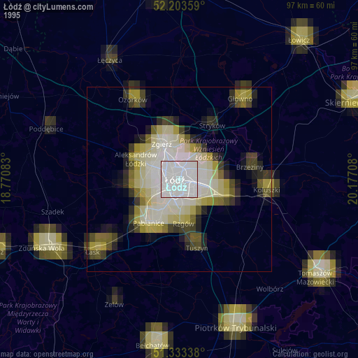
» NASA, Earths city lights 1995
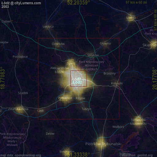
» NASA city lights 2003
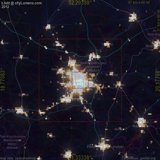
» Earth at Night: Flat Maps 2012, 2016