Aleksandrów Łódzki night lights from space
Night Light of Aleksandrów Łódzki (Łódź Voivodeship) from space (Poland) Src. Average luminocity for 10x10km area is 27.0532% and for 50x50km: 16.0569%.
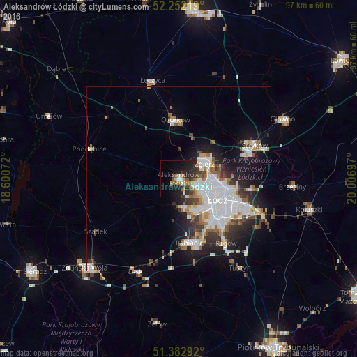
Analysis of Aleksandrów Łódzki night lights 2016
Square area 10x10 km:
 3.36%
3.36%90-99
2.52%80-89
2.94%70-79
3.78%60-69
3.64%50-59
6.72%40-49
2.8%30-39
7%20-29
10.36%10-19
18.77%0-9
38.1%Square area 50x50 km:
4.75%90-99
3.29%80-89
1.04%70-79
1.28%60-69
1.63%50-59
1.6%40-49
1.57%30-39
2.21%20-29
3.41%10-19
8.69%0-9
70.53%Clear (daylight) street map image can be seen on geolist.org.
Map coordinates:
52° 15' 7.9" North, 18° 36' 2.6" East
51° 49' 10.7" North, 19° 18' 13.8" East
51° 22' 58.5" North, 20° 0' 25.1" East
Some cities around Aleksandrów Łódzki sort by population:
• Łódź
12.9 km =8 mi,  115°
115°
• Pabianice
17.6 km =10.9 mi,  168°
168°
• Zgierz
8.1 km =5 mi,  60°
60°
• Ozorków
16 km =9.9 mi,  356°
356°
• Konstantynów Łódzki
8.1 km =5 mi, 169°
• Łęczyca
27.6 km =17.1 mi,  345°
345°
• Poddębice
25.2 km =15.7 mi,  289°
289°
• Ksawerów
16.7 km =10.4 mi,  155°
155°
3104132 (p: 20,292)
Sources (retrieved 2019-11-25):
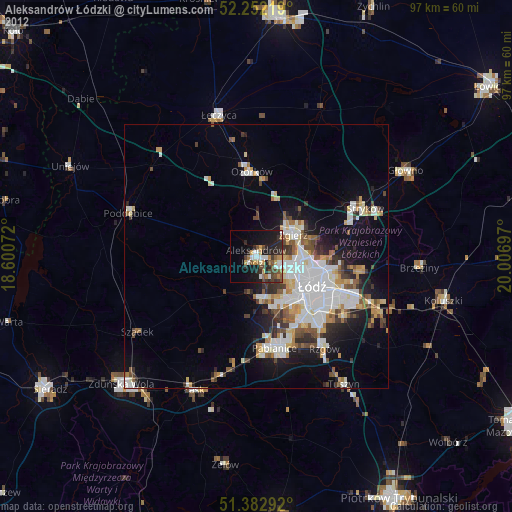
» Earth at Night: Flat Maps 2012, 2016