Przemyśl night lights from space
Night Light of Przemyśl (Subcarpathia) from space (Poland) Src. Average luminocity for 10x10km area is 26.746% and for 50x50km: 2.1329%.
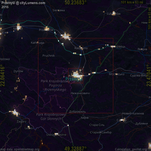
Analysis of Przemyśl night lights 2016
Square area 10x10 km:
 5.48%
5.48%90-99
5.61%80-89
2.81%70-79
3.07%60-69
3.34%50-59
1.47%40-49
1.6%30-39
1.2%20-29
2.94%10-19
33.69%0-9
38.77%Square area 50x50 km:
0.38%90-99
0.43%80-89
0.19%70-79
0.19%60-69
0.21%50-59
0.19%40-49
0.18%30-39
0.12%20-29
0.17%10-19
2.07%0-9
95.87%Clear (daylight) street map image can be seen on geolist.org.
Map coordinates:
50° 14' 12.6" North, 22° 3' 51" East
49° 47' 5.9" North, 22° 46' 2.2" East
49° 19' 43.9" North, 23° 28' 13.5" East
Some cities around Przemyśl sort by population:
• Jarosław
26.5 km =16.5 mi,  345°
345°
• Sambir, UA
42.9 km =26.7 mi,  133°
133°
• Przeworsk
36.2 km =22.5 mi,  327°
327°
• Mostys'ka, UA
27.5 km =17.1 mi,  87°
87°
• Ustrzyki Dolne
41.4 km =25.7 mi,  197°
197°
• Dynów
38.4 km =23.9 mi,  274°
274°
• Staryy Sambir, UA
42 km =26.1 mi,  156°
156°
• Radymno
18.5 km =11.5 mi,  12°
12°
761168 (p: 67,013)
Sources (retrieved 2019-11-25):
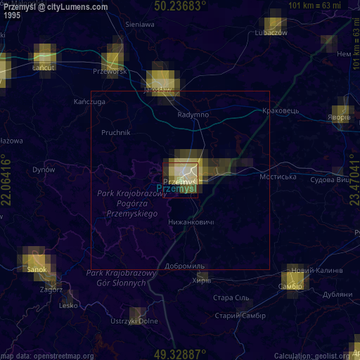
» NASA, Earths city lights 1995
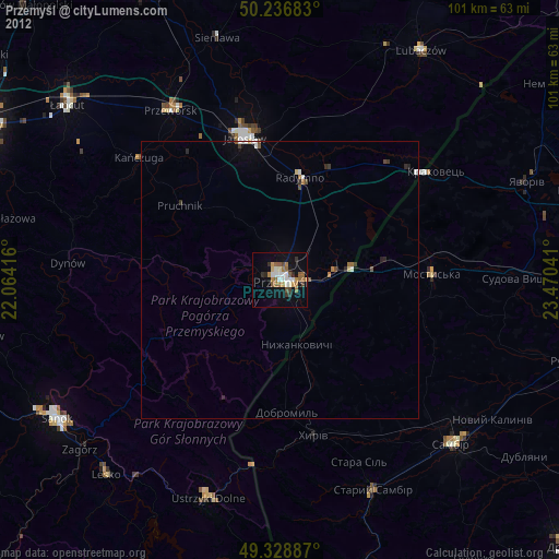
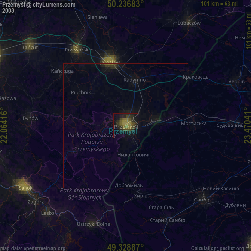
» NASA city lights 2003
» Earth at Night: Flat Maps 2012, 2016