Jasło night lights from space
Night Light of Jasło (Subcarpathia) from space (Poland) Src. Average luminocity for 10x10km area is 18.127% and for 50x50km: 3.2465%.
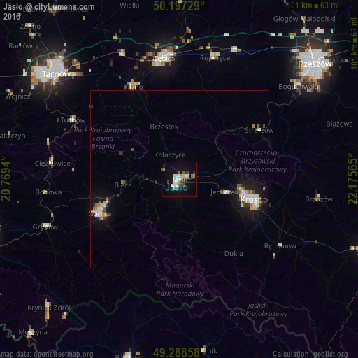
Analysis of Jasło night lights 2016
Square area 10x10 km:
 3.07%
3.07%90-99
4.01%80-89
0.94%70-79
1.87%60-69
0.94%50-59
2.01%40-49
3.61%30-39
2.01%20-29
1.34%10-19
13.24%0-9
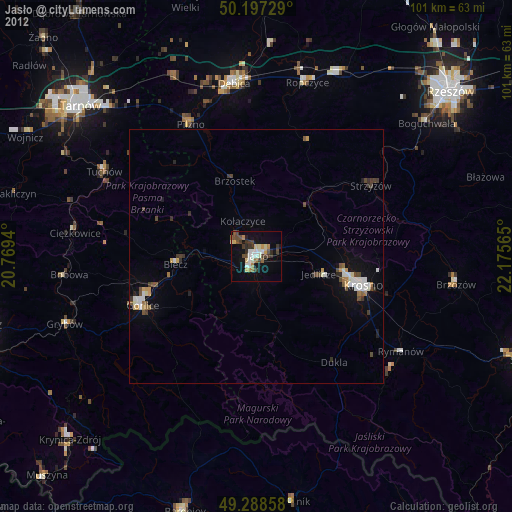
66.98%Square area 50x50 km:
0.56%90-99
0.63%80-89
0.24%70-79
0.27%60-69
0.25%50-59
0.37%40-49
0.49%30-39
0.3%20-29
0.37%10-19
3%0-9
93.52%Clear (daylight) street map image can be seen on geolist.org.
Map coordinates:
50° 11' 50.2" North, 20° 46' 9.8" East
49° 44' 42.2" North, 21° 28' 21.1" East
49° 17' 18.9" North, 22° 10' 32.3" East
Some cities around Jasło sort by population:
• Krosno
22.3 km =13.9 mi,  106°
106°
• Dębica
34.3 km =21.3 mi,  352°
352°
• Gorlice
24.6 km =15.3 mi,  246°
246°
• Ropczyce
35.5 km =22.1 mi,  15°
15°
• Strzyżów
27 km =16.8 mi,  58°
58°
• Tuchów
34.3 km =21.3 mi,  299°
299°
• Korczyna
24.4 km =15.2 mi,  97°
97°
• Jedlicze
13 km =8.1 mi, 103°
770293 (p: 37,851)
Sources (retrieved 2019-11-25):
» Earth at Night: Flat Maps 2012, 2016