Końskie night lights from space
Night Light of Końskie (Świętokrzyskie) from space (Poland) Src. Average luminocity for 10x10km area is 13.4011% and for 50x50km: 1.7421%.

Analysis of Końskie night lights 2016
Square area 10x10 km:
 2.01%
2.01%90-99
3.88%80-89
0%70-79
0.13%60-69
1.74%50-59
2.41%40-49
3.07%30-39
0.67%20-29
0%10-19
4.55%0-9
81.55%Square area 50x50 km:
0.22%90-99
0.34%80-89
0.22%70-79
0.12%60-69
0.22%50-59
0.19%40-49
0.31%30-39
0.15%20-29
0.17%10-19
0.74%0-9
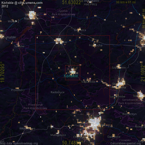
97.34%Clear (daylight) street map image can be seen on geolist.org.
Map coordinates:
51° 37' 48.8" North, 19° 42' 10.6" East
51° 11' 30" North, 20° 24' 21.9" East
50° 44' 56" North, 21° 6' 33.1" East
Some cities around Końskie sort by population:
• Kielce
38.9 km =24.2 mi,  156°
156°
• Skarżysko-Kamienna
33.6 km =20.9 mi,  105°
105°
• Opoczno
22.3 km =13.9 mi,  336°
336°
• Szydłowiec
32 km =19.9 mi,  82°
82°
• Suchedniów
33.6 km =20.9 mi,  118°
118°
• Sulejów
40.5 km =25.2 mi,  296°
296°
• Przysucha
24.2 km =15 mi,  39°
39°
• Stąporków
13 km =8.1 mi, 117°
768218 (p: 20,756)
Sources (retrieved 2019-11-25):
» Earth at Night: Flat Maps 2012, 2016