Hrubieszów night lights from space
Night Light of Hrubieszów (Lublin) from space (Poland) Src. Average luminocity for 10x10km area is 11.1723% and for 50x50km: 0.8364%.
Analysis of Hrubieszów night lights 2016
Square area 10x10 km:
 0.98%
0.98%90-99
1.82%80-89
2.52%70-79
1.68%60-69
1.12%50-59
1.82%40-49
1.26%30-39
0.42%20-29
0.14%10-19
0.7%0-9
87.54%Square area 50x50 km:
0.12%90-99
0.12%80-89
0.15%70-79
0.08%60-69
0.08%50-59
0.16%40-49
0.15%30-39
0.09%20-29
0.04%10-19
0.05%0-9
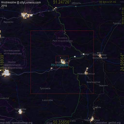
98.97%Clear (daylight) street map image can be seen on geolist.org.
Map coordinates:
51° 14' 50.1" North, 23° 11' 21.8" East
50° 48' 18.1" North, 23° 53' 33" East
50° 21' 30.8" North, 24° 35' 44.3" East
Some cities around Hrubieszów sort by population:
• Chervonohrad, UA
52 km =32.3 mi,  152°
152°
• Chełm
47.8 km =29.7 mi,  321°
321°
• Zamość
46 km =28.6 mi,  258°
258°
• Novovolyns’k, UA
20.9 km =13 mi,  114°
114°
• Volodymyr-Volynskyi, UA
30.7 km =19.1 mi,  80°
80°
• Sokal’, UA
45.9 km =28.5 mi,  143°
143°
• Tomaszów Lubelski
52 km =32.3 mi,  220°
220°
• Liuboml, UA
47.9 km =29.8 mi,  12°
12°
770966 (p: 18,605)
Sources (retrieved 2019-11-25):
» Earth at Night: Flat Maps 2012, 2016