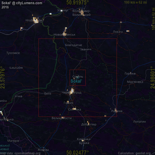
Sokal’ night lights from space
Night Light of Sokal’ (Lviv) from space (Ukraine) Src. Average luminocity for 10x10km area is 0.937% and for 50x50km: 0.5494%.

Analysis of Sokal’ night lights 2016
Square area 10x10 km:
 0%
0%90-99
0%80-89
0%70-79
0%60-69
0%50-59
0%40-49
0%30-39
0.56%20-29
1.26%10-19
0.98%0-9
97.2%Square area 50x50 km:
0.05%90-99
0.05%80-89
0.09%70-79
0.05%60-69
0.02%50-59
0.1%40-49
0.16%30-39
0.07%20-29
0.15%10-19
0.15%0-9
99.11%Clear (daylight) street map image can be seen on geolist.org.
Map coordinates:
50° 55' 11.1" North, 23° 34' 47.1" East
50° 28' 27.8" North, 24° 16' 58.4" East
50° 1' 29.2" North, 24° 59' 9.6" East
Some cities around Sokal’ sort by population:
• Chervonohrad
9.9 km =6.2 mi,  200°
200°
• Novovolyns’k
29.2 km =18.1 mi,  343°
343°
• Volodymyr-Volynskyi
42.1 km =26.2 mi,  3°
3°
• Tomaszów Lubelski, PL
61.4 km =38.2 mi,  267°
267°
• Hrubieszów, PL
45.9 km =28.5 mi,  323°
323°
• Zhovkva
51.3 km =31.9 mi,  205°
205°
• Rava-Rus’ka
53.8 km =33.4 mi,  239°
239°
• Staryy Dobrotvir
27.8 km =17.3 mi,  166°
166°
693301 (p: 21,451)
Sources (retrieved 2019-11-25):
» Earth at Night: Flat Maps 2012, 2016