Tomaszów Lubelski night lights from space
Night Light of Tomaszów Lubelski (Lublin) from space (Poland) Src. Average luminocity for 10x10km area is 11.2297% and for 50x50km: 0.6493%.
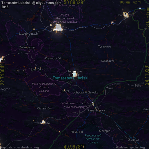
Analysis of Tomaszów Lubelski night lights 2016
Square area 10x10 km:
 3.22%
3.22%90-99
2.94%80-89
0.42%70-79
0.42%60-69
1.26%50-59
0.14%40-49
0.42%30-39
1.12%20-29
0.42%10-19
1.26%0-9
88.38%Square area 50x50 km:
0.15%90-99
0.13%80-89
0.05%70-79
0.05%60-69
0.05%50-59
0.05%40-49
0.07%30-39
0.06%20-29
0.03%10-19
0.08%0-9
99.28%Clear (daylight) street map image can be seen on geolist.org.
Map coordinates:
50° 53' 35.8" North, 22° 42' 46.9" East
50° 26' 51.6" North, 23° 24' 58.2" East
49° 59' 52.1" North, 24° 7' 9.4" East
Some cities around Tomaszów Lubelski sort by population:
• Zamość
32.7 km =20.3 mi,  339°
339°
• Biłgoraj
50.2 km =31.2 mi,  281°
281°
• Hrubieszów
52 km =32.3 mi,  40°
40°
• Lubaczów
38.4 km =23.9 mi,  212°
212°
• Rava-Rus’ka, UA
28.4 km =17.6 mi,  148°
148°
• Szczebrzeszyn
41.3 km =25.7 mi,  311°
311°
• Oleszyce
41.3 km =25.7 mi,  221°
221°
• Shklo, UA
55.3 km =34.4 mi,  170°
170°
756868 (p: 20,261)
Sources (retrieved 2019-11-25):
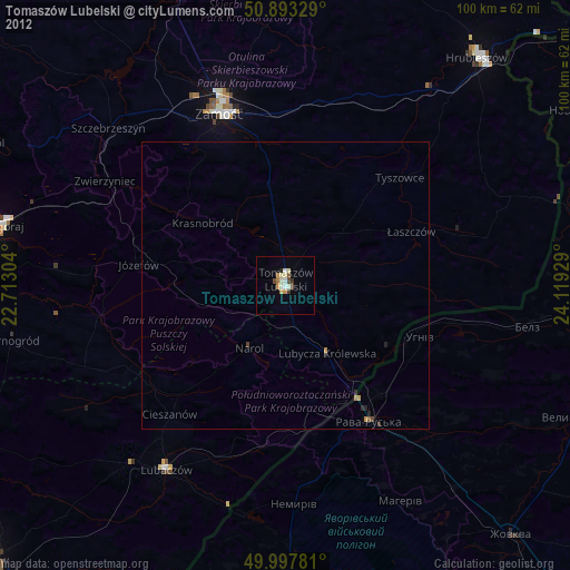
» Earth at Night: Flat Maps 2012, 2016