Novovolyns’k night lights from space
Night Light of Novovolyns’k (Volyn) from space (Ukraine) Src. Average luminocity for 10x10km area is 5.5842% and for 50x50km: 0.9471%.
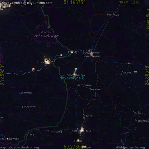
Analysis of Novovolyns’k night lights 2016
Square area 10x10 km:
 0.13%
0.13%90-99
0.53%80-89
1.2%70-79
0.27%60-69
0.8%50-59
1.07%40-49
2.41%30-39
1.47%20-29
0.13%10-19
0.53%0-9
91.44%Square area 50x50 km:
0.11%90-99
0.11%80-89
0.15%70-79
0.08%60-69
0.13%50-59
0.18%40-49
0.25%30-39
0.11%20-29
0.08%10-19
0.1%0-9
98.71%Clear (daylight) street map image can be seen on geolist.org.
Map coordinates:
51° 10' 7.5" North, 23° 27' 34.3" East
50° 43' 32.7" North, 24° 9' 45.5" East
50° 16' 42.7" North, 24° 51' 56.8" East
Some cities around Novovolyns’k sort by population:
• Chervonohrad
37.6 km =23.4 mi,  172°
172°
• Zamość, PL
64.1 km =39.8 mi,  269°
269°
• Volodymyr-Volynskyi
18.1 km =11.2 mi,  38°
38°
• Sokal’
29.2 km =18.1 mi,  163°
163°
• Tomaszów Lubelski, PL
61.1 km =38 mi,  239°
239°
• Hrubieszów, PL
20.9 km =13 mi,  294°
294°
• Liuboml
56.3 km =35 mi,  351°
351°
• Staryy Dobrotvir
57 km =35.4 mi, 164°
699035 (p: 57,800)
Sources (retrieved 2019-11-25):
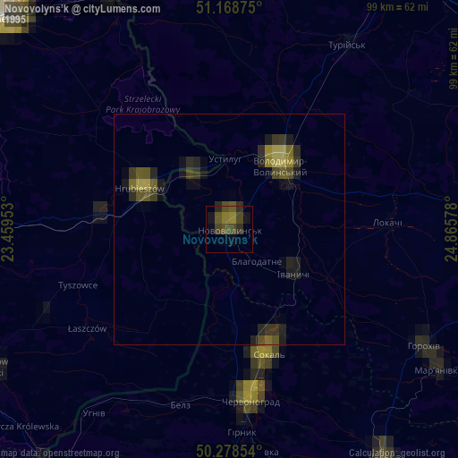
» NASA, Earths city lights 1995
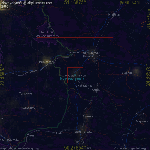
» NASA city lights 2003
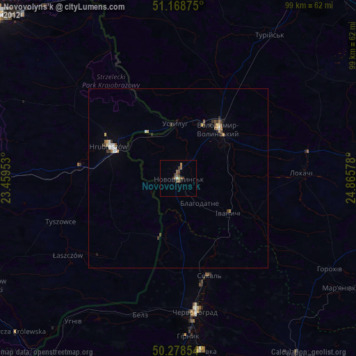
» Earth at Night: Flat Maps 2012, 2016