Gorzów Wielkopolski night lights from space
Night Light of Gorzów Wielkopolski (Lubusz) from space (Poland) Src. Average luminocity for 10x10km area is 40.404% and for 50x50km: 2.6879%.
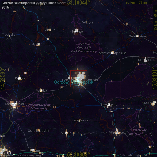
Analysis of Gorzów Wielkopolski night lights 2016
Square area 10x10 km:
 11.49%
90-99
10.48%80-89
1.26%70-79
2.4%60-69
4.8%50-59
3.28%40-49
3.16%30-39
2.15%20-29
15.28%10-19
30.81%0-9
14.9%Square area 50x50 km:
0.6%90-99
0.61%80-89
0.13%70-79
0.18%60-69
0.25%50-59
0.24%40-49
0.27%30-39
0.22%20-29
0.73%10-19
1.92%0-9
94.84%Clear (daylight) street map image can be seen on geolist.org.
Map coordinates:
53° 9' 37.6" North, 14° 31' 32.4" East
52° 44' 12.4" North, 15° 13' 43.6" East
52° 18' 32.3" North, 15° 55' 54.9" East
Some cities around Gorzów Wielkopolski sort by population:
• Międzyrzecz
40.1 km =24.9 mi,  144°
144°
• Barlinek
28.7 km =17.8 mi,  358°
358°
• Dębno
35.7 km =22.2 mi,  270°
270°
• Myślibórz
31.9 km =19.8 mi,  310°
310°
• Sulęcin
33.4 km =20.8 mi,  193°
193°
• Skwierzyna
24.2 km =15 mi,  129°
129°
• Strzelce Krajeńskie
25.6 km =15.9 mi,  52°
52°
• Witnica
23.4 km =14.5 mi,  252°
252°
3098722 (p: 124,430)
Sources (retrieved 2019-11-25):
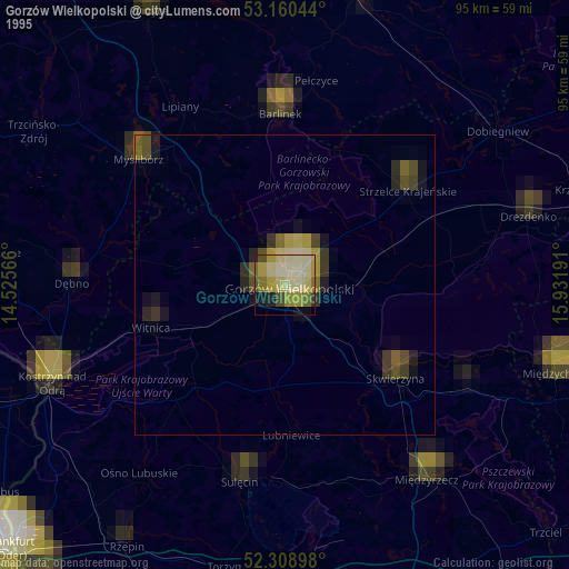
» NASA, Earths city lights 1995
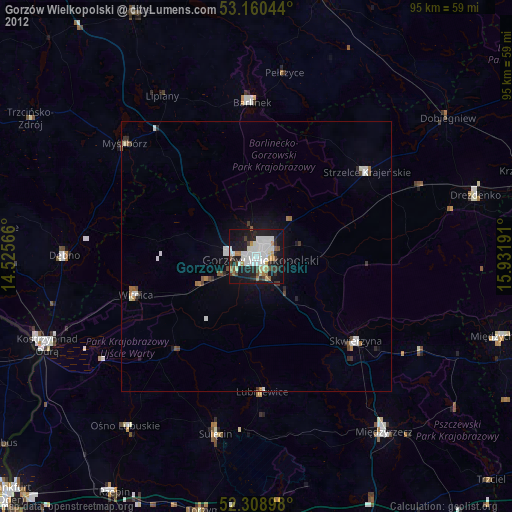
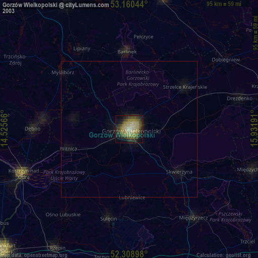
» NASA city lights 2003
» Earth at Night: Flat Maps 2012, 2016