Sulęcin night lights from space
Night Light of Sulęcin (Lesser Poland) from space (Poland) Src. Average luminocity for 10x10km area is 4.2753% and for 50x50km: 0.8228%.
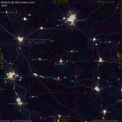
Analysis of Sulęcin night lights 2016
Square area 10x10 km:
 1.01%
1.01%90-99
0.51%80-89
0%70-79
0.51%60-69
1.39%50-59
0.25%40-49
0.38%30-39
1.14%20-29
0.51%10-19
0.13%0-9
94.19%Square area 50x50 km:
0.07%90-99
0.09%80-89
0.06%70-79
0.08%60-69
0.21%50-59
0.11%40-49
0.16%30-39
0.16%20-29
0.2%10-19
0.15%0-9
98.69%Clear (daylight) street map image can be seen on geolist.org.
Map coordinates:
52° 52' 14.8" North, 14° 24' 49.1" East
52° 26' 39.4" North, 15° 7' 0.3" East
52° 0' 49" North, 15° 49' 11.6" East
Some cities around Sulęcin sort by population:
• Gorzów Wielkopolski
33.4 km =20.8 mi,  13°
13°
• Świebodzin
35.8 km =22.2 mi,  127°
127°
• Międzyrzecz
31.3 km =19.4 mi,  89°
89°
• Kostrzyn nad Odrą
35.4 km =22 mi,  296°
296°
• Słubice
39.1 km =24.3 mi,  254°
254°
• Skwierzyna
31.5 km =19.6 mi,  56°
56°
• Witnica
29.4 km =18.3 mi,  329°
329°
• Rzepin
22.2 km =13.8 mi,  240°
240°
3084237 (p: 10,090)
Sources (retrieved 2019-11-25):
» Earth at Night: Flat Maps 2012, 2016