Mogilno night lights from space
Night Light of Mogilno (Kujawsko-Pomorskie) from space (Poland) Src. Average luminocity for 10x10km area is 5.8651% and for 50x50km: 4.2138%.
Analysis of Mogilno night lights 2016
Square area 10x10 km:
 1.19%
1.19%90-99
1.46%80-89
0.53%70-79
1.06%60-69
0%50-59
0.4%40-49
0.4%30-39
0.26%20-29
1.06%10-19
0.53%0-9
93.12%Square area 50x50 km:
0.85%90-99
0.8%80-89
0.37%70-79
0.46%60-69
0.47%50-59
0.3%40-49
0.43%30-39
0.33%20-29
0.54%10-19
2.94%0-9
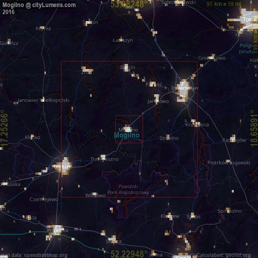
92.51%Clear (daylight) street map image can be seen on geolist.org.
Map coordinates:
53° 4' 56.9" North, 17° 15' 9.6" East
52° 39' 29" North, 17° 57' 20.8" East
52° 13' 46.1" North, 18° 39' 32.1" East
Some cities around Mogilno sort by population:
• Inowrocław
26 km =16.2 mi,  52°
52°
• Żnin
26.6 km =16.5 mi,  323°
323°
• Kruszwica
25.4 km =15.8 mi,  85°
85°
• Janikowo
15 km =9.3 mi, 45°
• Trzemeszno
14 km =8.7 mi,  219°
219°
• Barcin
23.1 km =14.4 mi,  358°
358°
• Strzelno
15 km =9.3 mi,  102°
102°
• Pakość
18.2 km =11.3 mi,  28°
28°
3091523 (p: 12,465)
Sources (retrieved 2019-11-25):
» Earth at Night: Flat Maps 2012, 2016