Słupsk night lights from space
Night Light of Słupsk (Pomerania) from space (Poland) Src. Average luminocity for 10x10km area is 36.7237% and for 50x50km: 2.4642%.
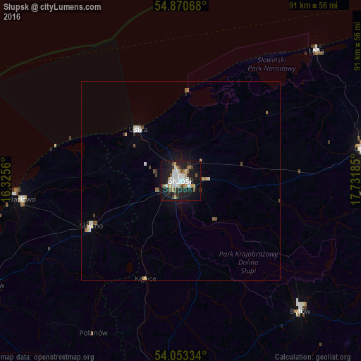
Analysis of Słupsk night lights 2016
Square area 10x10 km:
 8.73%
8.73%90-99
7.89%80-89
4.55%70-79
2.03%60-69
1.91%50-59
4.55%40-49
3.23%30-39
2.75%20-29
11.36%10-19
35.77%0-9
17.22%Square area 50x50 km:
0.47%90-99
0.43%80-89
0.32%70-79
0.13%60-69
0.15%50-59
0.39%40-49
0.24%30-39
0.21%20-29
0.52%10-19
1.9%0-9
95.22%Clear (daylight) street map image can be seen on geolist.org.
Map coordinates:
54° 52' 14.4" North, 16° 19' 32.2" East
54° 27' 50.6" North, 17° 1' 43.4" East
54° 3' 12" North, 17° 43' 54.7" East
Some cities around Słupsk sort by population:
• Lębork
47.3 km =29.4 mi,  79°
79°
• Bytów
44.4 km =27.6 mi,  137°
137°
• Ustka
16.8 km =10.4 mi,  320°
320°
• Darłowo
40.2 km =25 mi,  263°
263°
• Sławno
25.3 km =15.7 mi,  243°
243°
• Miastko
51.4 km =31.9 mi,  183°
183°
• Sierakowice
57.4 km =35.7 mi,  103°
103°
• Sianów
54.6 km =33.9 mi, 241°
3085450 (p: 98,608)
Sources (retrieved 2019-11-25):
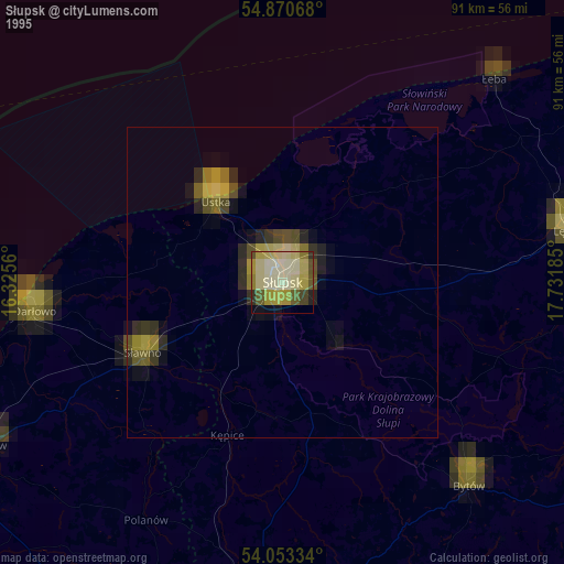
» NASA, Earths city lights 1995
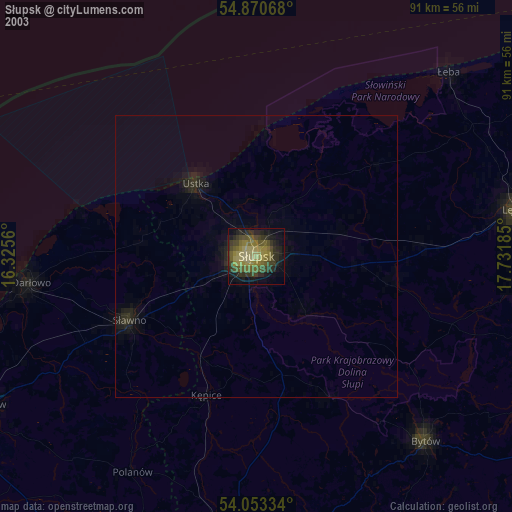
» NASA city lights 2003
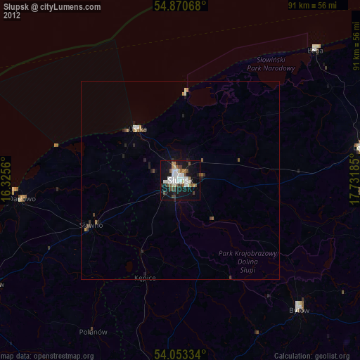
» Earth at Night: Flat Maps 2012, 2016