Miastko night lights from space
Night Light of Miastko (Pomerania) from space (Poland) Src. Average luminocity for 10x10km area is 3.4381% and for 50x50km: 0.2244%.
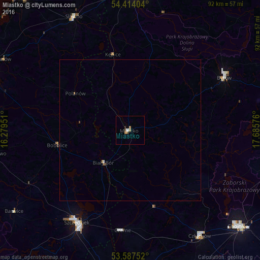
Analysis of Miastko night lights 2016
Square area 10x10 km:
 0.63%
0.63%90-99
0.38%80-89
0%70-79
0.38%60-69
1.64%50-59
0%40-49
0.51%30-39
0.76%20-29
0.25%10-19
0%0-9
95.45%Square area 50x50 km:
0.03%90-99
0.03%80-89
0%70-79
0.04%60-69
0.08%50-59
0.03%40-49
0.06%30-39
0.04%20-29
0.01%10-19
0%0-9
99.7%Clear (daylight) street map image can be seen on geolist.org.
Map coordinates:
54° 24' 50.5" North, 16° 16' 46.2" East
54° 0' 10.2" North, 16° 58' 57.5" East
53° 35' 15.1" North, 17° 41' 8.7" East
Some cities around Miastko sort by population:
• Słupsk
51.4 km =31.9 mi,  3°
3°
• Chojnice
50.9 km =31.6 mi,  132°
132°
• Szczecinek
37.7 km =23.4 mi,  209°
209°
• Bytów
38.1 km =23.7 mi,  60°
60°
• Człuchów
44.7 km =27.8 mi,  146°
146°
• Sławno
44.6 km =27.7 mi,  333°
333°
• Sianów
51.5 km =32 mi,  298°
298°
• Czarne
35.5 km =22.1 mi,  184°
184°
3092080 (p: 10,954)
Sources (retrieved 2019-11-25):
» Earth at Night: Flat Maps 2012, 2016