Surab night lights from space
Night Light of Surab (Balochistan) from space (Pakistan) Src. Average luminocity for 10x10km area is 0.6151% and for 50x50km: 0.0478%.
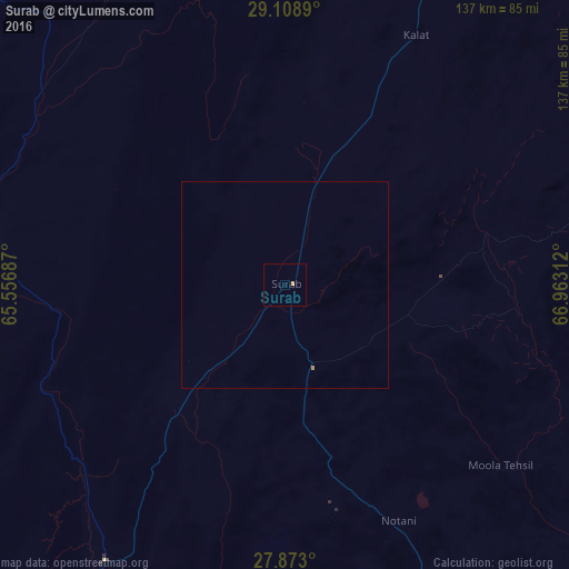
Analysis of Surab night lights 2016
Square area 10x10 km:
 0%
0%90-99
0%80-89
0%70-79
0.79%60-69
0%50-59
0%40-49
0%30-39
0%20-29
0%10-19
0%0-9
99.21%Square area 50x50 km:
0%90-99
0%80-89
0%70-79
0.06%60-69
0%50-59
0%40-49
0%30-39
0%20-29
0%10-19
0%0-9
99.94%Clear (daylight) street map image can be seen on geolist.org.
Map coordinates:
29° 6' 32" North, 65° 33' 24.7" East
28° 29' 33.9" North, 66° 15' 36" East
27° 52' 22.8" North, 66° 57' 47.2" East
Some cities around Surab sort by population:
• Khuzdar
83.2 km =51.7 mi,  155°
155°
• Kharan
83.2 km =51.7 mi,  277°
277°
• Mastung
156 km =96.9 mi,  21°
21°
• Nushki
120 km =74.6 mi,  348°
348°
• Kalat
67.7 km =42.1 mi,  28°
28°
• Dadhar
173.9 km =108.1 mi,  51°
51°
• Bhag
164.2 km =102 mi,  68°
68°
• Garhi Khairo
175.2 km =108.9 mi,  105°
105°
1164306 (p: 13,104)
Sources (retrieved 2019-11-25):
» Earth at Night: Flat Maps 2012, 2016