Mastung night lights from space
Night Light of Mastung (Balochistan) from space (Pakistan) Src. Average luminocity for 10x10km area is 0.3552% and for 50x50km: 0.155%.
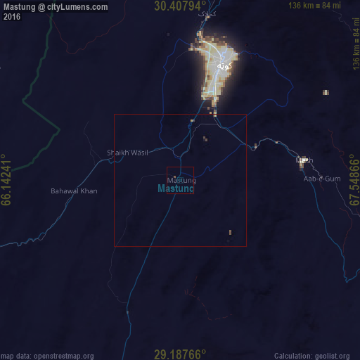
Analysis of Mastung night lights 2016
Square area 10x10 km:
 0%
0%90-99
0%80-89
0%70-79
0%60-69
0%50-59
0%40-49
0.79%30-39
0%20-29
0%10-19
0%0-9
99.21%Square area 50x50 km:
0%90-99
0%80-89
0%70-79
0.06%60-69
0%50-59
0.02%40-49
0.11%30-39
0.06%20-29
0%10-19
0.02%0-9
99.74%Clear (daylight) street map image can be seen on geolist.org.
Map coordinates:
30° 24' 28.6" North, 66° 8' 32.7" East
29° 47' 58.8" North, 66° 50' 43.9" East
29° 11' 15.6" North, 67° 32' 55.2" East
Some cities around Mastung sort by population:
• Quetta
45.3 km =28.1 mi,  19°
19°
• Kot Malik Barkhurdar
47 km =29.2 mi, 16°
• Nushki
84.1 km =52.3 mi,  250°
250°
• Kalat
89.3 km =55.5 mi,  195°
195°
• Pishin
88.1 km =54.7 mi,  9°
9°
• Mach
47.3 km =29.4 mi,  81°
81°
• Dadhar
85.9 km =53.4 mi,  114°
114°
• Alik Ghund
100.6 km =62.5 mi,  40°
40°
1170706 (p: 29,082)
Sources (retrieved 2019-11-25):
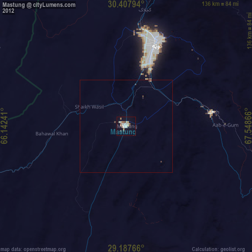
» Earth at Night: Flat Maps 2012, 2016