Dadhar night lights from space
Night Light of Dadhar (Balochistan) from space (Pakistan) Src. Average luminocity for 10x10km area is 1.5871% and for 50x50km: 0.7636%.
Analysis of Dadhar night lights 2016
Square area 10x10 km:
 0%
0%90-99
0%80-89
0.76%70-79
0.57%60-69
0.19%50-59
0%40-49
0%30-39
0%20-29
1.33%10-19
0.19%0-9
96.97%Square area 50x50 km:
0.07%90-99
0.23%80-89
0.09%70-79
0.04%60-69
0.08%50-59
0%40-49
0.15%30-39
0.13%20-29
0.1%10-19
0.13%0-9
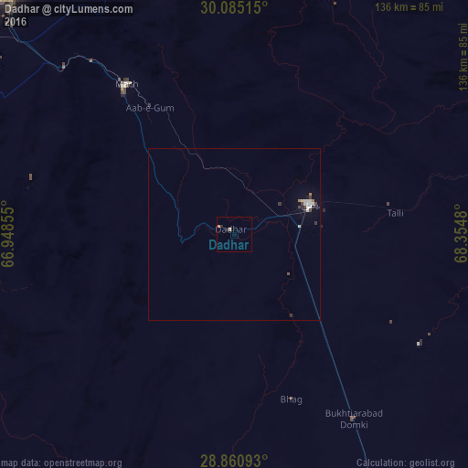
98.98%Clear (daylight) street map image can be seen on geolist.org.
Map coordinates:
30° 5' 6.5" North, 66° 56' 54.8" East
29° 28' 29.6" North, 67° 39' 6" East
28° 51' 39.3" North, 68° 21' 17.3" East
Some cities around Dadhar sort by population:
• Quetta
100.8 km =62.6 mi,  321°
321°
• Kot Malik Barkhurdar
103.3 km =64.2 mi, 321°
• Sibi
23.1 km =14.4 mi,  70°
70°
• Mastung
85.9 km =53.4 mi,  294°
294°
• Mach
53.2 km =33.1 mi, 324°
• Bhag
51 km =31.7 mi,  160°
160°
• Harnai
74.9 km =46.5 mi,  21°
21°
• Alik Ghund
113.5 km =70.5 mi,  353°
353°
1180825 (p: 15,090)
Sources (retrieved 2019-11-25):
» Earth at Night: Flat Maps 2012, 2016