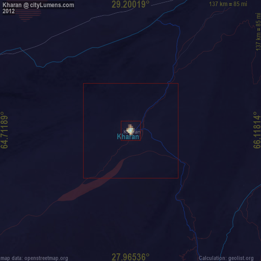
Kharan night lights from space
Night Light of Kharan (Balochistan) from space (Pakistan) Src. Average luminocity for 10x10km area is 0% and for 50x50km: 0%.
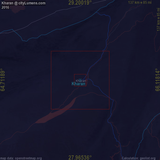
Analysis of Kharan night lights 2016
Square area 10x10 km:
100  0%
0%
90-99 0%
80-89 0%
70-79 0%
60-69 0%
50-59 0%
40-49 0%
30-39 0%
20-29 0%
10-19 0%
0-9 100%
0%90-99
0%80-89
0%70-79
0%60-69
0%50-59
0%40-49
0%30-39
0%20-29
0%10-19
0%0-9
100%Square area 50x50 km:
100 0%
90-99 0%
80-89 0%
70-79 0%
60-69 0%
50-59 0%
40-49 0%
30-39 0%
20-29 0%
10-19 0%
0-9 100%
0%90-99
0%80-89
0%70-79
0%60-69
0%50-59
0%40-49
0%30-39
0%20-29
0%10-19
0%0-9
100%Clear (daylight) street map image can be seen on geolist.org.
Map coordinates:
29° 12' 0.7" North, 64° 42' 42.8" East
28° 35' 4.5" North, 65° 24' 54" East
27° 57' 55.3" North, 66° 7' 5.3" East
Some cities around Kharan sort by population:
• Quetta
235.1 km =146.1 mi,  40°
40°
• Khuzdar
145.3 km =90.3 mi,  126°
126°
• Mastung
193.7 km =120.4 mi,  45°
45°
• Nushki
122.7 km =76.2 mi,  28°
28°
• Kalat
124.9 km =77.6 mi,  66°
66°
• Mach
234 km =145.4 mi, 52°
• Dalbandin
104 km =64.6 mi,  288°
288°
• Surab
83.2 km =51.7 mi,  97°
97°
1174062 (p: 30,841)
Sources (retrieved 2019-11-25):
» Earth at Night: Flat Maps 2012, 2016