Kalat night lights from space
Night Light of Kalat (Balochistan) from space (Pakistan) Src. Average luminocity for 10x10km area is 0% and for 50x50km: 0%.
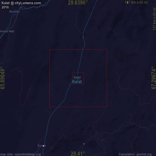
Analysis of Kalat night lights 2016
Square area 10x10 km:
100  0%
0%
90-99 0%
80-89 0%
70-79 0%
60-69 0%
50-59 0%
40-49 0%
30-39 0%
20-29 0%
10-19 0%
0-9 100%
0%90-99
0%80-89
0%70-79
0%60-69
0%50-59
0%40-49
0%30-39
0%20-29
0%10-19
0%0-9
100%Square area 50x50 km:
100 0%
90-99 0%
80-89 0%
70-79 0%
60-69 0%
50-59 0%
40-49 0%
30-39 0%
20-29 0%
10-19 0%
0-9 100%
0%90-99
0%80-89
0%70-79
0%60-69
0%50-59
0%40-49
0%30-39
0%20-29
0%10-19
0%0-9
100%Clear (daylight) street map image can be seen on geolist.org.
Map coordinates:
29° 38' 22.6" North, 65° 53' 25.8" East
29° 1' 35.9" North, 66° 35' 37" East
28° 24' 36" North, 67° 17' 48.3" East
Some cities around Kalat sort by population:
• Quetta
134.6 km =83.6 mi,  17°
17°
• Kharan
124.9 km =77.6 mi,  246°
246°
• Mastung
89.3 km =55.5 mi, 15°
• Nushki
80.5 km =50 mi,  316°
316°
• Mach
117.3 km =72.9 mi,  37°
37°
• Dadhar
114.1 km =70.9 mi,  64°
64°
• Bhag
119.6 km =74.3 mi,  89°
89°
• Surab
67.7 km =42.1 mi,  208°
208°
1175296 (p: 26,701)
Sources (retrieved 2019-11-25):
» Earth at Night: Flat Maps 2012, 2016