Bhag night lights from space
Night Light of Bhag (Balochistan) from space (Pakistan) Src. Average luminocity for 10x10km area is 0.4762% and for 50x50km: 0.0711%.
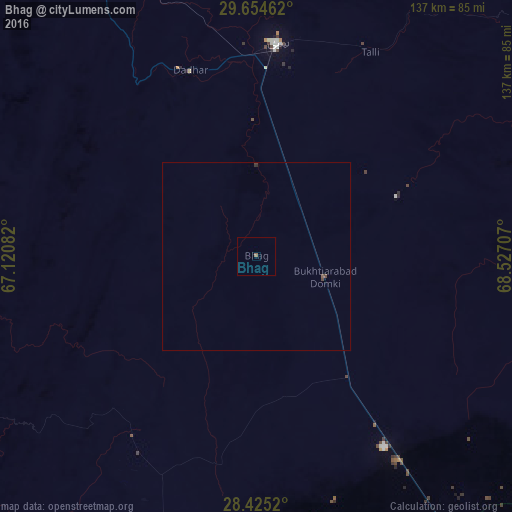
Analysis of Bhag night lights 2016
Square area 10x10 km:
 0%
0%90-99
0%80-89
0%70-79
0%60-69
0%50-59
0.79%40-49
0%30-39
0%20-29
0%10-19
0%0-9
99.21%Square area 50x50 km:
0%90-99
0%80-89
0%70-79
0%60-69
0%50-59
0.06%40-49
0.06%30-39
0.02%20-29
0.02%10-19
0%0-9
99.85%Clear (daylight) street map image can be seen on geolist.org.
Map coordinates:
29° 39' 16.6" North, 67° 7' 15" East
29° 2' 30.3" North, 67° 49' 26.2" East
28° 25' 30.7" North, 68° 31' 37.5" East
Some cities around Bhag sort by population:
• Jacobabad
103.6 km =64.4 mi,  144°
144°
• Sibi
56 km =34.8 mi,  5°
5°
• Usta Muhammad
98.5 km =61.2 mi,  167°
167°
• Mehrabpur
105.7 km =65.7 mi, 169°
• Mach
103.1 km =64.1 mi,  332°
332°
• Dadhar
51 km =31.7 mi,  340°
340°
• Garhi Khairo
110.2 km =68.5 mi, 172°
• Sohbatpur
90.9 km =56.5 mi,  129°
129°
1182872 (p: 14,555)
Sources (retrieved 2019-11-25):
» Earth at Night: Flat Maps 2012, 2016