Pattoki night lights from space
Night Light of Pattoki (Punjab) from space (Pakistan) Src. Average luminocity for 10x10km area is 33.5348% and for 50x50km: 9.7366%.
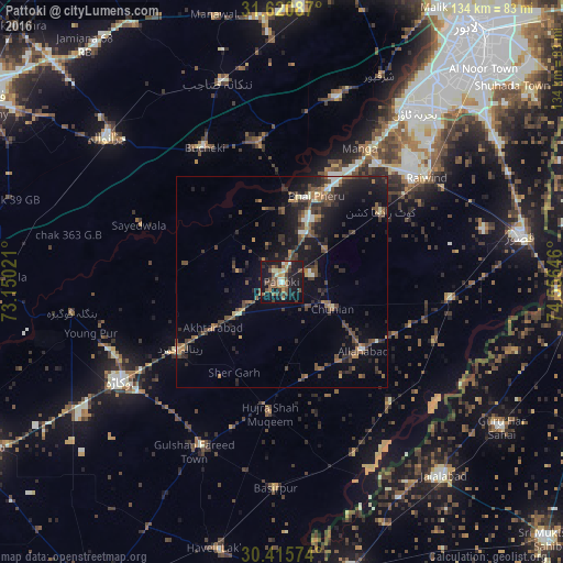
Analysis of Pattoki night lights 2016
Square area 10x10 km:
 1.1%
1.1%90-99
4.21%80-89
4.21%70-79
3.3%60-69
8.42%50-59
5.68%40-49
9.52%30-39
4.4%20-29
5.31%10-19
45.24%0-9
8.61%Square area 50x50 km:
0.24%90-99
0.92%80-89
0.58%70-79
0.9%60-69
1.43%50-59
1.75%40-49
3.34%30-39
2.33%20-29
3.32%10-19
8.8%0-9
76.39%Clear (daylight) street map image can be seen on geolist.org.
Map coordinates:
31° 37' 15.1" North, 73° 9' 0.8" East
31° 1' 12.8" North, 73° 51' 12" East
30° 24' 56.7" North, 74° 33' 23.3" East
Some cities around Pattoki sort by population:
• Mianke Mor
22.2 km =13.8 mi,  24°
24°
• Hujra Shah Muqim
31.1 km =19.3 mi,  185°
185°
• Chunian
13.4 km =8.3 mi,  116°
116°
• Kot Radha Kishan
28.9 km =18 mi,  54°
54°
• Mustafābād
36.7 km =22.8 mi,  247°
247°
• Renala Khurd
28.9 km =18 mi,  237°
237°
• Raiwind
42.8 km =26.6 mi, 53°
• Kanganpur
38.3 km =23.8 mi,  137°
137°
1168226 (p: 70,436)
Sources (retrieved 2019-11-25):
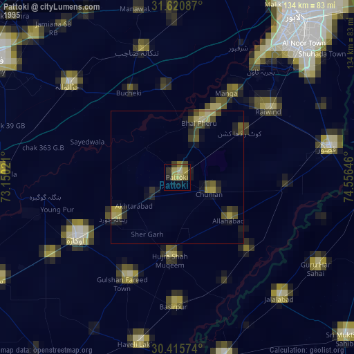
» NASA, Earths city lights 1995
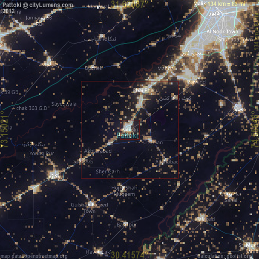
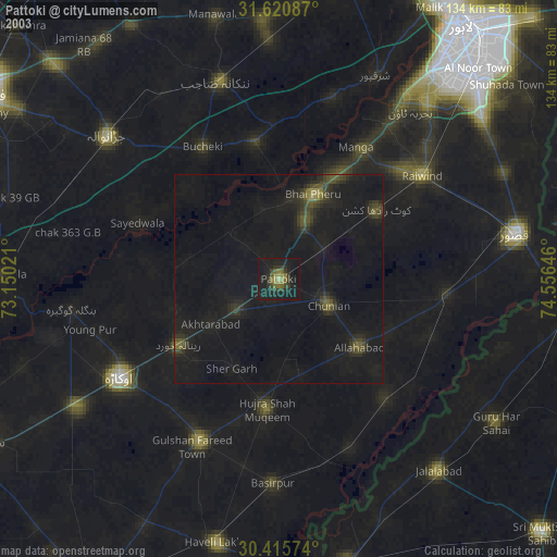
» NASA city lights 2003
» Earth at Night: Flat Maps 2012, 2016