Raiwind night lights from space
Night Light of Raiwind (Punjab) from space (Pakistan) Src. Average luminocity for 10x10km area is 57.5018% and for 50x50km: 31.5015%.
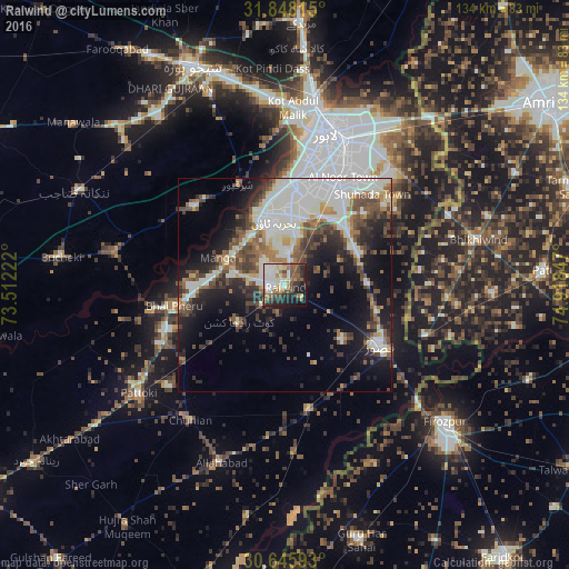
Analysis of Raiwind night lights 2016
Square area 10x10 km:
 9.52%
9.52%90-99
19.05%80-89
4.95%70-79
3.3%60-69
9.52%50-59
8.42%40-49
10.81%30-39
6.96%20-29
14.1%10-19
10.99%0-9
2.38%Square area 50x50 km:
5.72%90-99
9.84%80-89
1.94%70-79
2.01%60-69
3.32%50-59
4.18%40-49
5.93%30-39
4.65%20-29
6.72%10-19
13.11%0-9
42.59%Clear (daylight) street map image can be seen on geolist.org.
Map coordinates:
31° 50' 53.3" North, 73° 30' 44" East
31° 14' 56.2" North, 74° 12' 55.2" East
30° 38' 45.3" North, 74° 55' 6.5" East
Some cities around Raiwind sort by population:
• Lahore
36.7 km =22.8 mi,  20°
20°
• Kasur
26.6 km =16.5 mi,  122°
122°
• Mianke Mor
25.9 km =16.1 mi,  258°
258°
• Kot Radha Kishan
13.9 km =8.6 mi,  231°
231°
• Kahna Nau
19.6 km =12.2 mi,  48°
48°
• Sharqpur Sharif
26 km =16.2 mi,  335°
335°
• Raja Jang
4.9 km =3 mi,  129°
129°
• Khem Karan, IN
34.7 km =21.6 mi,  109°
109°
1167398 (p: 31,592)
Sources (retrieved 2019-11-25):
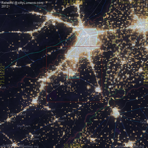
» Earth at Night: Flat Maps 2012, 2016