Kanganpur night lights from space
Night Light of Kanganpur (Punjab) from space (Pakistan) Src. Average luminocity for 10x10km area is 7.4248% and for 50x50km: 10.733%.
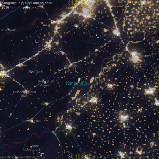
Analysis of Kanganpur night lights 2016
Square area 10x10 km:
 0%
0%90-99
0.52%80-89
0.87%70-79
0.7%60-69
0.7%50-59
1.22%40-49
2.62%30-39
0%20-29
4.72%10-19
2.8%0-9
85.84%Square area 50x50 km:
0.16%90-99
0.72%80-89
0.74%70-79
1.38%60-69
1.04%50-59
2.01%40-49
3.32%30-39
2.88%20-29
3.59%10-19
10.02%0-9
74.13%Clear (daylight) street map image can be seen on geolist.org.
Map coordinates:
31° 22' 1" North, 73° 25' 11.1" East
30° 45' 52.8" North, 74° 7' 22.3" East
30° 9' 31" North, 74° 49' 33.6" East
Some cities around Kanganpur sort by population:
• Fāzilka, IN
41.3 km =25.7 mi,  192°
192°
• Pattoki
38.3 km =23.8 mi,  317°
317°
• Hujra Shah Muqim
28.7 km =17.8 mi,  264°
264°
• Chunian
26.3 km =16.3 mi,  328°
328°
• Kot Radha Kishan
45.2 km =28.1 mi,  357°
357°
• Basirpur
34.2 km =21.3 mi,  232°
232°
• Jalālābād, IN
21.8 km =13.5 mi,  143°
143°
• Guru Har Sahāi, IN
27.6 km =17.1 mi,  103°
103°
1174984 (p: 21,788)
Sources (retrieved 2019-11-25):
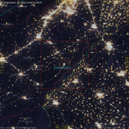
» Earth at Night: Flat Maps 2012, 2016