Kot Radha Kishan night lights from space
Night Light of Kot Radha Kishan (Punjab) from space (Pakistan) Src. Average luminocity for 10x10km area is 12.8791% and for 50x50km: 21.2118%.
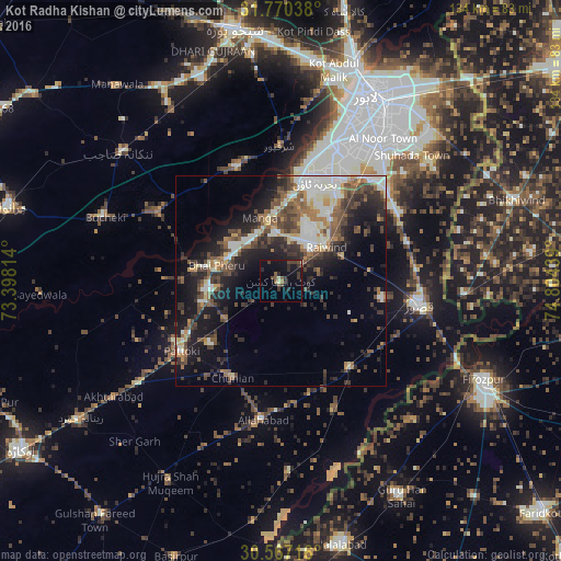
Analysis of Kot Radha Kishan night lights 2016
Square area 10x10 km:
 0%
0%90-99
0.55%80-89
1.28%70-79
0%60-69
0.73%50-59
2.93%40-49
4.76%30-39
5.13%20-29
4.4%10-19
13.37%0-9
66.85%Square area 50x50 km:
2.41%90-99
4.78%80-89
1.61%70-79
1.71%60-69
2.62%50-59
3.65%40-49
4.91%30-39
4.37%20-29
6.13%10-19
11.97%0-9
55.85%Clear (daylight) street map image can be seen on geolist.org.
Map coordinates:
31° 46' 13.4" North, 73° 23' 53.3" East
31° 10' 14.4" North, 74° 6' 4.5" East
30° 34' 1.8" North, 74° 48' 15.8" East
Some cities around Kot Radha Kishan sort by population:
• Kasur
33.7 km =20.9 mi,  99°
99°
• Mianke Mor
14.9 km =9.3 mi,  283°
283°
• Pattoki
28.9 km =18 mi,  234°
234°
• Chunian
25.5 km =15.8 mi,  207°
207°
• Kahna Nau
33.5 km =20.8 mi,  49°
49°
• Sharqpur Sharif
32.3 km =20.1 mi,  359°
359°
• Raiwind
13.9 km =8.6 mi, 51°
• Raja Jang
15.6 km =9.7 mi,  69°
69°
1172915 (p: 45,938)
Sources (retrieved 2019-11-25):
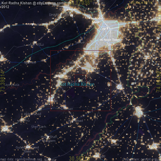
» Earth at Night: Flat Maps 2012, 2016