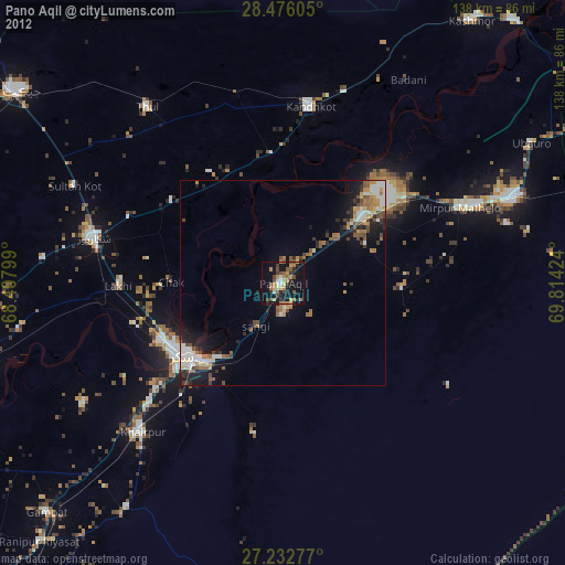
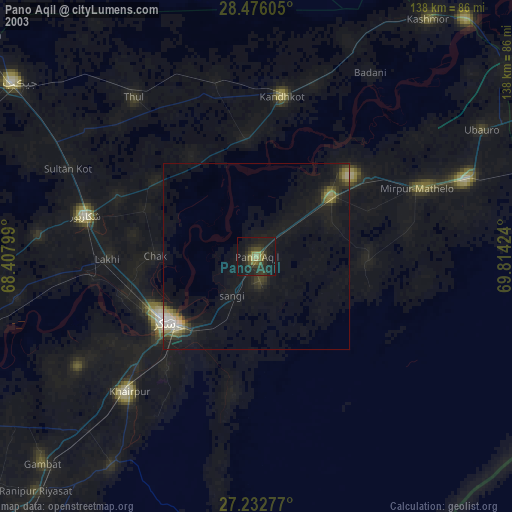
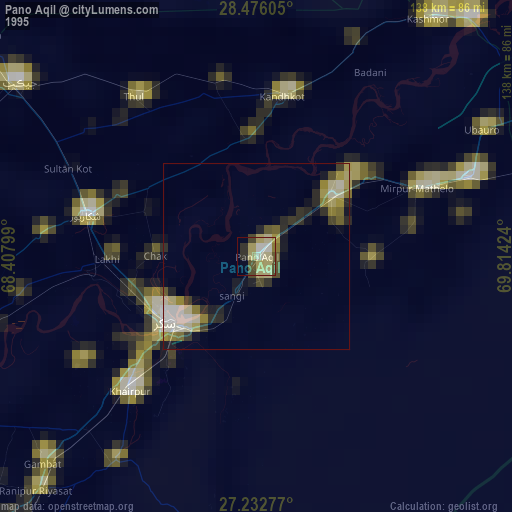
Pano Aqil night lights from space
Night Light of Pano Aqil (Sindh) from space (Pakistan) Src. Average luminocity for 10x10km area is 19.6951% and for 50x50km: 6.0518%.

Analysis of Pano Aqil night lights 2016
Square area 10x10 km:
 0%
0%90-99
1.33%80-89
1.52%70-79
2.84%60-69
1.7%50-59
2.08%40-49
12.31%30-39
3.6%20-29
6.25%10-19
18.37%0-9
50%Square area 50x50 km:
0.54%90-99
1.45%80-89
0.36%70-79
0.4%60-69
0.61%50-59
0.71%40-49
1.52%30-39
0.88%20-29
1.87%10-19
4.99%0-9
86.66%Clear (daylight) street map image can be seen on geolist.org.
Map coordinates:
28° 28' 33.8" North, 68° 24' 28.8" East
27° 51' 22.3" North, 69° 6' 40" East
27° 13' 58" North, 69° 48' 51.3" East
Some cities around Pano Aqil sort by population:
• Sukkur
30.1 km =18.7 mi,  235°
235°
• Ghotki
26 km =16.2 mi,  50°
50°
• Rohri
28 km =17.4 mi,  229°
229°
• Ghauspur
31.6 km =19.6 mi,  354°
354°
• Khanpur Mahar
29.7 km =18.5 mi,  93°
93°
• Chak
27.3 km =17 mi,  270°
270°
• Rustam
32.6 km =20.3 mi,  292°
292°
• Adilpur
22.3 km =13.9 mi,  66°
66°
1168412 (p: 72,881)
Sources (retrieved 2019-11-25):
» NASA, Earths city lights 1995
» NASA city lights 2003
» Earth at Night: Flat Maps 2012, 2016