Ghotki night lights from space
Night Light of Ghotki (Sindh) from space (Pakistan) Src. Average luminocity for 10x10km area is 32.5644% and for 50x50km: 5.6683%.
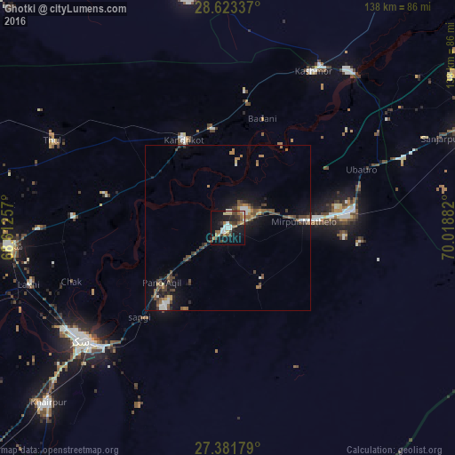

Analysis of Ghotki night lights 2016
Square area 10x10 km:
 2.84%
2.84%90-99
7.58%80-89
3.03%70-79
1.89%60-69
7.39%50-59
2.65%40-49
5.49%30-39
6.44%20-29
7.01%10-19
34.66%0-9
21.02%Square area 50x50 km:
0.33%90-99
0.9%80-89
0.27%70-79
0.5%60-69
0.98%50-59
0.87%40-49
1.73%30-39
0.99%20-29
1%10-19
4.62%0-9
87.81%Clear (daylight) street map image can be seen on geolist.org.
Map coordinates:
28° 37' 24.1" North, 68° 36' 45.3" East
28° 0' 15.7" North, 69° 18' 56.5" East
27° 22' 54.4" North, 70° 1' 7.8" East
Some cities around Ghotki sort by population:
• Kandhkot
30 km =18.6 mi,  333°
333°
• Pano Aqil
26 km =16.2 mi,  230°
230°
• Mirpur Mathelo
23 km =14.3 mi,  85°
85°
• Khairpur
38.7 km =24 mi,  80°
80°
• Ghauspur
27.3 km =17 mi,  303°
303°
• Khanpur Mahar
20.5 km =12.7 mi,  152°
152°
• Tangwani
43.6 km =27.1 mi,  314°
314°
• Adilpur
7.5 km =4.7 mi,  177°
177°
1178456 (p: 64,295)
Sources (retrieved 2019-11-25):
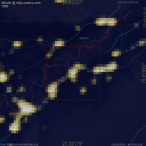
» NASA, Earths city lights 1995
» NASA city lights 2003
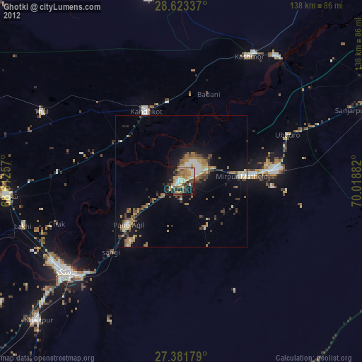
» Earth at Night: Flat Maps 2012, 2016