Nabisar night lights from space
Night Light of Nabisar (Sindh) from space (Pakistan) Src. Average luminocity for 10x10km area is 0% and for 50x50km: 0.3725%.
Analysis of Nabisar night lights 2016
Square area 10x10 km:
100  0%
0%
90-99 0%
80-89 0%
70-79 0%
60-69 0%
50-59 0%
40-49 0%
30-39 0%
20-29 0%
10-19 0%
0-9 100%
0%90-99
0%80-89
0%70-79
0%60-69
0%50-59
0%40-49
0%30-39
0%20-29
0%10-19
0%0-9
100%Square area 50x50 km:
100 0%
90-99 0.06%
80-89 0.03%
70-79 0.06%
60-69 0.06%
50-59 0.09%
40-49 0.14%
30-39 0.11%
20-29 0.02%
10-19 0.01%
0-9 99.41%
0%90-99
0.06%80-89
0.03%70-79
0.06%60-69
0.06%50-59
0.09%40-49
0.14%30-39
0.11%20-29
0.02%10-19
0.01%0-9
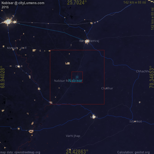
99.41%Clear (daylight) street map image can be seen on geolist.org.
Map coordinates:
25° 42' 8.6" North, 68° 56' 25" East
25° 4' 1.8" North, 69° 38' 36.2" East
24° 25' 43.1" North, 70° 20' 47.5" East
Some cities around Nabisar sort by population:
• Umarkot
34.4 km =21.4 mi,  16°
16°
• Digri
54.5 km =33.9 mi,  280°
280°
• Kunri
14.7 km =9.1 mi,  327°
327°
• Mithi
39.8 km =24.7 mi,  157°
157°
• Naukot
33.7 km =20.9 mi,  226°
226°
• Dhoro Naro
49.2 km =30.6 mi,  351°
351°
• Chhor
51.5 km =32 mi, 15°
• Samaro
34.4 km =21.4 mi,  313°
313°
1169580 (p: 6,256)
Sources (retrieved 2019-11-25):
» Earth at Night: Flat Maps 2012, 2016