Samaro night lights from space
Night Light of Samaro (Sindh) from space (Pakistan) Src. Average luminocity for 10x10km area is 1.5198% and for 50x50km: 0.6442%.
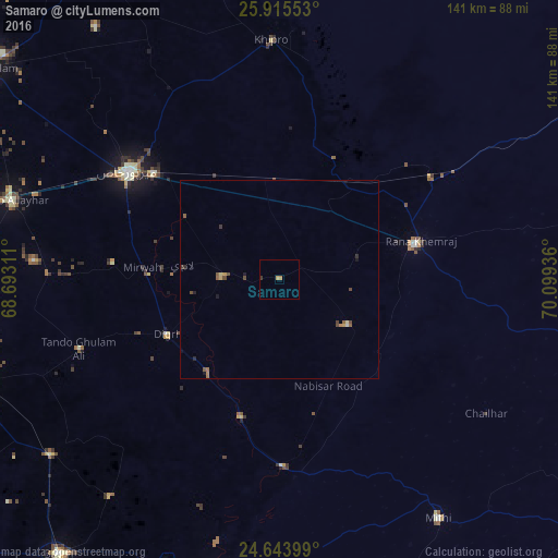
Analysis of Samaro night lights 2016
Square area 10x10 km:
 0%
0%90-99
0%80-89
0%70-79
0.79%60-69
0.79%50-59
0%40-49
0%30-39
0.79%20-29
0%10-19
0%0-9
97.62%Square area 50x50 km:
0%90-99
0.03%80-89
0.07%70-79
0.12%60-69
0.13%50-59
0.19%40-49
0.23%30-39
0.11%20-29
0.12%10-19
0.16%0-9
98.83%Clear (daylight) street map image can be seen on geolist.org.
Map coordinates:
25° 54' 55.9" North, 68° 41' 35.2" East
25° 16' 53.1" North, 69° 23' 46.4" East
24° 38' 38.4" North, 70° 5' 57.7" East
Some cities around Samaro sort by population:
• Umarkot
35.9 km =22.3 mi,  75°
75°
• Digri
31.9 km =19.8 mi,  244°
244°
• Kunri
20.5 km =12.7 mi,  123°
123°
• Dhoro Naro
30.4 km =18.9 mi,  35°
35°
• Chhor
46.7 km =29 mi,  56°
56°
• Mirwah Gorchani
34.9 km =21.7 mi,  275°
275°
• Pithoro
25.6 km =15.9 mi,  355°
355°
• Nabisar
34.4 km =21.4 mi,  133°
133°
1166275 (p: 8,784)
Sources (retrieved 2019-11-25):
» Earth at Night: Flat Maps 2012, 2016