Mithi night lights from space
Night Light of Mithi (Sindh) from space (Pakistan) Src. Average luminocity for 10x10km area is 7.5357% and for 50x50km: 0.2968%.
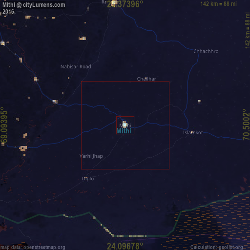
Analysis of Mithi night lights 2016
Square area 10x10 km:
 0%
0%90-99
2.38%80-89
1.98%70-79
1.19%60-69
0%50-59
2.18%40-49
0.2%30-39
0%20-29
0%10-19
0%0-9
92.06%Square area 50x50 km:
0%90-99
0.09%80-89
0.08%70-79
0.05%60-69
0%50-59
0.08%40-49
0.01%30-39
0%20-29
0%10-19
0%0-9
99.69%Clear (daylight) street map image can be seen on geolist.org.
Map coordinates:
25° 22' 26.3" North, 69° 5' 38.2" East
24° 44' 13.2" North, 69° 47' 49.5" East
24° 5' 48.4" North, 70° 30' 0.7" East
Some cities around Mithi sort by population:
• Umarkot
69.9 km =43.4 mi,  355°
355°
• Digri
83.4 km =51.8 mi,  303°
303°
• Kunri
54.4 km =33.8 mi,  334°
334°
• Naukot
42.1 km =26.2 mi,  288°
288°
• Islamkot
38.9 km =24.2 mi,  96°
96°
• Diplo
37.1 km =23.1 mi,  216°
216°
• Samaro
72.8 km =45.2 mi, 326°
• Nabisar
39.8 km =24.7 mi,  337°
337°
1170219 (p: 23,431)
Sources (retrieved 2019-11-25):
» Earth at Night: Flat Maps 2012, 2016