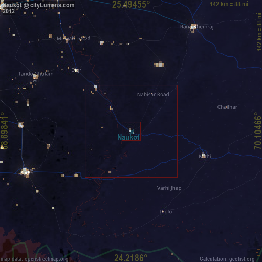
Naukot night lights from space
Night Light of Naukot (Sindh) from space (Pakistan) Src. Average luminocity for 10x10km area is 3.1307% and for 50x50km: 0.5006%.
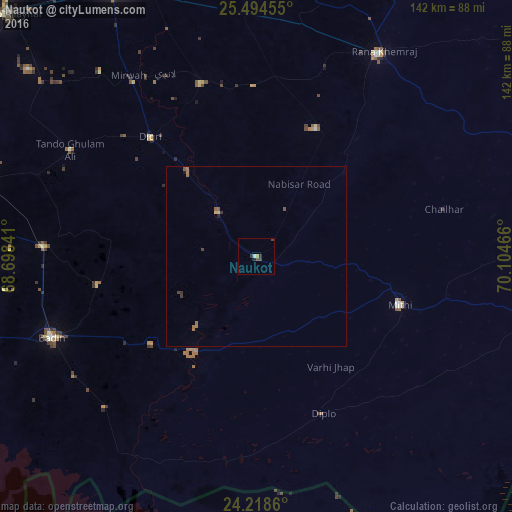
Analysis of Naukot night lights 2016
Square area 10x10 km:
 0%
0%90-99
0.76%80-89
0%70-79
0.76%60-69
0%50-59
0%40-49
0.76%30-39
3.03%20-29
0.57%10-19
0.19%0-9
93.94%Square area 50x50 km:
0%90-99
0.03%80-89
0.03%70-79
0.06%60-69
0.2%50-59
0.14%40-49
0.07%30-39
0.23%20-29
0.05%10-19
0.05%0-9
99.14%Clear (daylight) street map image can be seen on geolist.org.
Map coordinates:
25° 29' 40.4" North, 68° 41' 54.3" East
24° 51' 29.6" North, 69° 24' 5.5" East
24° 13' 7" North, 70° 6' 16.8" East
Some cities around Naukot sort by population:
• Digri
44.2 km =27.5 mi,  318°
318°
• Kunri
39.3 km =24.4 mi,  24°
24°
• Mithi
42.1 km =26.2 mi,  108°
108°
• Tando Bago
44.7 km =27.8 mi,  260°
260°
• Diplo
47.1 km =29.3 mi,  157°
157°
• Samaro
47.1 km =29.3 mi,  359°
359°
• Rajo Khanani
57 km =35.4 mi,  284°
284°
• Nabisar
33.7 km =20.9 mi,  46°
46°
1169367 (p: 22,081)
Sources (retrieved 2019-11-25):
» Earth at Night: Flat Maps 2012, 2016