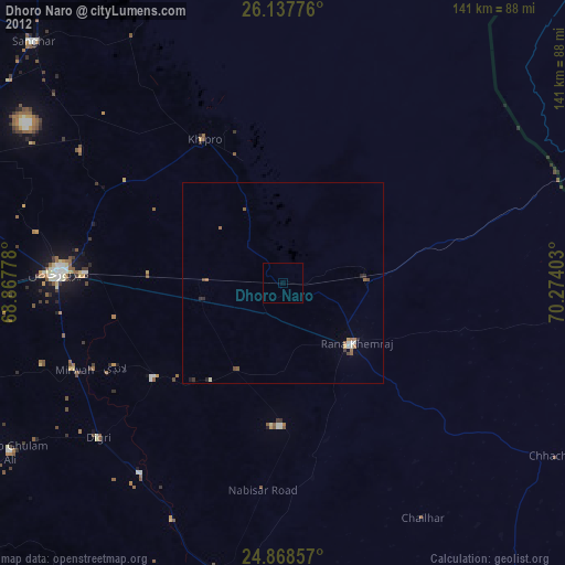
Dhoro Naro night lights from space
Night Light of Dhoro Naro (Sindh) from space (Pakistan) Src. Average luminocity for 10x10km area is 0.0099% and for 50x50km: 0.6851%.
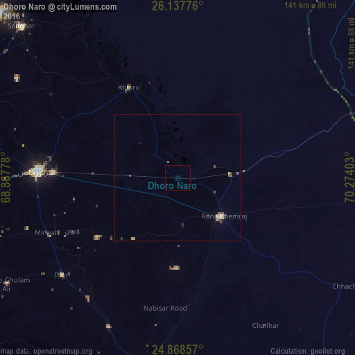
Analysis of Dhoro Naro night lights 2016
Square area 10x10 km:
 0%
0%90-99
0%80-89
0%70-79
0%60-69
0%50-59
0%40-49
0%30-39
0%20-29
0%10-19
0%0-9
100%Square area 50x50 km:
0.03%90-99
0.09%80-89
0.03%70-79
0.1%60-69
0.15%50-59
0.16%40-49
0.17%30-39
0.14%20-29
0.1%10-19
0.07%0-9
98.96%Clear (daylight) street map image can be seen on geolist.org.
Map coordinates:
26° 8' 15.9" North, 68° 52' 4" East
25° 30' 17.4" North, 69° 34' 15.2" East
24° 52' 6.9" North, 70° 16' 26.5" East
Some cities around Dhoro Naro sort by population:
• Mirpur Khas
56.1 km =34.9 mi,  272°
272°
• Umarkot
23.3 km =14.5 mi,  132°
132°
• Kunri
36.3 km =22.6 mi,  180°
180°
• Chhor
21.4 km =13.3 mi,  87°
87°
• Mirwah Gorchani
56.6 km =35.2 mi,  247°
247°
• Samaro
30.4 km =18.9 mi,  215°
215°
• Pithoro
19.4 km =12.1 mi, 272°
• Nabisar
49.2 km =30.6 mi,  171°
171°
1179902 (p: 19,907)
Sources (retrieved 2019-11-25):
» Earth at Night: Flat Maps 2012, 2016