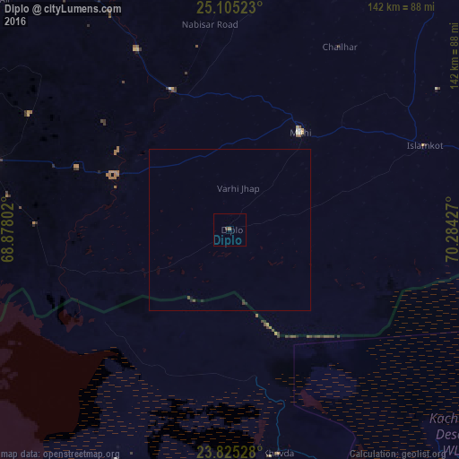
Diplo night lights from space
Night Light of Diplo (Sindh) from space (Pakistan) Src. Average luminocity for 10x10km area is 0.8492% and for 50x50km: 0.1174%.
Analysis of Diplo night lights 2016
Square area 10x10 km:
100  0%
0%
90-99 0%
80-89 0%
70-79 0%
60-69 0%
50-59 0.79%
40-49 0%
30-39 0.79%
20-29 0%
10-19 0%
0-9 98.41%
0%90-99
0%80-89
0%70-79
0%60-69
0%50-59
0.79%40-49
0%30-39
0.79%20-29
0%10-19
0%0-9
98.41%Square area 50x50 km:
100 0%
90-99 0%
80-89 0%
70-79 0%
60-69 0%
50-59 0.03%
40-49 0.06%
30-39 0.07%
20-29 0.09%
10-19 0.03%
0-9 99.71%
0%90-99
0%80-89
0%70-79
0%60-69
0%50-59
0.03%40-49
0.06%30-39
0.07%20-29
0.09%10-19
0.03%0-9
99.71%Clear (daylight) street map image can be seen on geolist.org.
Map coordinates:
25° 6' 18.8" North, 68° 52' 40.9" East
24° 28' 0.8" North, 69° 34' 52.1" East
23° 49' 31" North, 70° 17' 3.4" East
Some cities around Diplo sort by population:
• Badin
78.1 km =48.5 mi,  285°
285°
• Kunri
79.2 km =49.2 mi,  358°
358°
• Mithi
37.1 km =23.1 mi,  36°
36°
• Naukot
47.1 km =29.3 mi,  337°
337°
• Tando Bago
71.8 km =44.6 mi,  299°
299°
• Islamkot
65.8 km =40.9 mi,  66°
66°
• Kadhan
60.3 km =37.5 mi,  271°
271°
• Nabisar
67 km =41.6 mi,  5°
5°
1179758 (p: 11,575)
Sources (retrieved 2019-11-25):
» Earth at Night: Flat Maps 2012, 2016