Mirpur Mathelo night lights from space
Night Light of Mirpur Mathelo (Sindh) from space (Pakistan) Src. Average luminocity for 10x10km area is 20.267% and for 50x50km: 7.4105%.
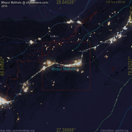
Analysis of Mirpur Mathelo night lights 2016
Square area 10x10 km:
 3.98%
3.98%90-99
3.6%80-89
0%70-79
0%60-69
2.65%50-59
2.84%40-49
5.87%30-39
3.6%20-29
2.27%10-19
20.83%0-9
54.36%Square area 50x50 km:
0.77%90-99
1.29%80-89
0.41%70-79
0.53%60-69
1.18%50-59
1.04%40-49
1.99%30-39
1.17%20-29
1.64%10-19
6.49%0-9
83.49%Clear (daylight) street map image can be seen on geolist.org.
Map coordinates:
28° 38' 24.9" North, 68° 50' 45.7" East
28° 1' 16.9" North, 69° 32' 56.9" East
27° 23' 56" North, 70° 15' 8.2" East
Some cities around Mirpur Mathelo sort by population:
• Kandhkot
44 km =27.3 mi,  304°
304°
• Pano Aqil
46.8 km =29.1 mi,  246°
246°
• Ghotki
23 km =14.3 mi,  265°
265°
• Khairpur
15.9 km =9.9 mi,  72°
72°
• Kashmor
45.9 km =28.5 mi,  4°
4°
• Ubauro
23.9 km =14.9 mi,  48°
48°
• Khanpur Mahar
24.1 km =15 mi,  213°
213°
• Adilpur
24.4 km =15.2 mi, 247°
1170294 (p: 49,311)
Sources (retrieved 2019-11-25):
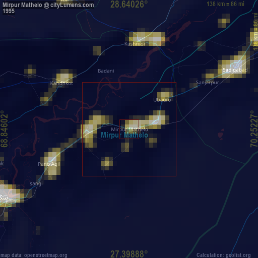
» NASA, Earths city lights 1995
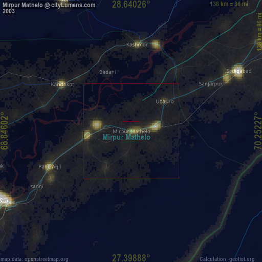
» NASA city lights 2003
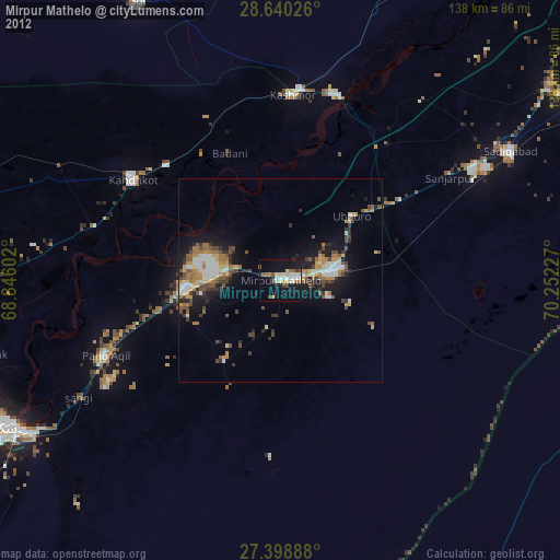
» Earth at Night: Flat Maps 2012, 2016