Ubauro night lights from space
Night Light of Ubauro (Sindh) from space (Pakistan) Src. Average luminocity for 10x10km area is 2.9527% and for 50x50km: 5.4485%.
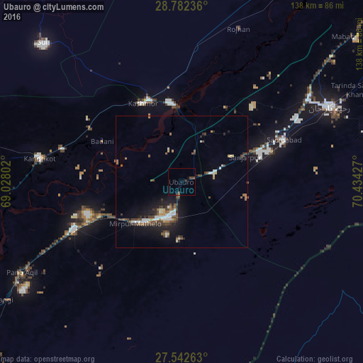
Analysis of Ubauro night lights 2016
Square area 10x10 km:
 0%
0%90-99
0%80-89
0%70-79
0%60-69
0.38%50-59
0.76%40-49
2.27%30-39
0.76%20-29
0%10-19
2.84%0-9
92.99%Square area 50x50 km:
0.59%90-99
0.92%80-89
0.42%70-79
0.32%60-69
0.72%50-59
0.72%40-49
1.6%30-39
0.82%20-29
1.21%10-19
3.97%0-9
88.71%Clear (daylight) street map image can be seen on geolist.org.
Map coordinates:
28° 46' 56.5" North, 69° 1' 40.9" East
28° 9' 51.4" North, 69° 43' 52.1" East
27° 32' 33.5" North, 70° 26' 3.4" East
Some cities around Ubauro sort by population:
• Saddiqabad
41.9 km =26 mi,  67°
67°
• Kandhkot
54.8 km =34.1 mi,  279°
279°
• Ghotki
44.5 km =27.7 mi,  246°
246°
• Mirpur Mathelo
23.9 km =14.9 mi,  228°
228°
• Khairpur
11.4 km =7.1 mi,  193°
193°
• Kashmor
33.1 km =20.6 mi,  334°
334°
• Khanpur Mahar
47.6 km =29.6 mi,  220°
220°
• Adilpur
47.7 km =29.6 mi,  237°
237°
1163021 (p: 23,462)
Sources (retrieved 2019-11-25):
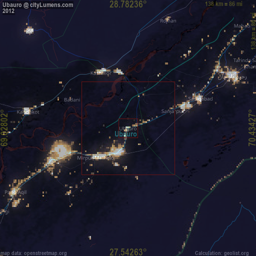
» Earth at Night: Flat Maps 2012, 2016