Thatta night lights from space
Night Light of Thatta (Sindh) from space (Pakistan) Src. Average luminocity for 10x10km area is 19.375% and for 50x50km: 1.7314%.
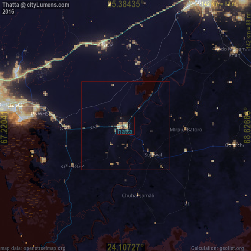
Analysis of Thatta night lights 2016
Square area 10x10 km:
 0%
0%90-99
1.33%80-89
4.55%70-79
5.68%60-69
3.41%50-59
3.22%40-49
0.95%30-39
3.6%20-29
1.33%10-19
7.2%0-9
68.75%Square area 50x50 km:
0%90-99
0.05%80-89
0.34%70-79
0.34%60-69
0.25%50-59
0.39%40-49
0.42%30-39
0.36%20-29
0.28%10-19
0.46%0-9
97.11%Clear (daylight) street map image can be seen on geolist.org.
Map coordinates:
25° 23' 3.7" North, 67° 13' 13.5" East
24° 44' 50.8" North, 67° 55' 24.7" East
24° 6' 26.2" North, 68° 37' 36" East
Some cities around Thatta sort by population:
• Tando Muhammad Khan
74.7 km =46.4 mi,  55°
55°
• Gharo
34.2 km =21.3 mi,  268°
268°
• Chuhar Jamali
39.9 km =24.8 mi,  169°
169°
• Daromehar
26.4 km =16.4 mi,  78°
78°
• Jati
55.8 km =34.7 mi,  141°
141°
• Mirpur Bhtoro
34.1 km =21.2 mi,  93°
93°
• Mirpur Sakro
37.3 km =23.2 mi,  233°
233°
• Kario Ghanwar
69.1 km =42.9 mi, 84°
1163582 (p: 44,302)
Sources (retrieved 2019-11-25):
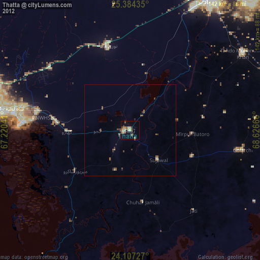
» Earth at Night: Flat Maps 2012, 2016