Mianwali night lights from space
Night Light of Mianwali (Punjab) from space (Pakistan) Src. Average luminocity for 10x10km area is 21.2937% and for 50x50km: 3.6105%.
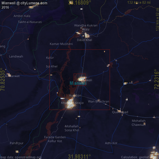
Analysis of Mianwali night lights 2016
Square area 10x10 km:
 0%
0%90-99
4.9%80-89
3.85%70-79
4.9%60-69
1.75%50-59
2.1%40-49
4.37%30-39
1.57%20-29
2.8%10-19
15.21%0-9
58.57%Square area 50x50 km:
0.14%90-99
1.19%80-89
0.25%70-79
0.37%60-69
0.3%50-59
0.37%40-49
0.85%30-39
0.41%20-29
0.74%10-19
2.84%0-9
92.54%Clear (daylight) street map image can be seen on geolist.org.
Map coordinates:
33° 10' 5.1" North, 70° 49' 31.3" East
32° 34' 39.2" North, 71° 31' 42.5" East
31° 58' 59.2" North, 72° 13' 53.8" East
Some cities around Mianwali sort by population:
• Lakki
57.8 km =35.9 mi,  273°
273°
• Kundian
14.1 km =8.8 mi,  199°
199°
• Daud Khel
33.3 km =20.7 mi,  6°
6°
• Mitha Tiwana
65.6 km =40.8 mi,  124°
124°
• Kalur Kot
53 km =32.9 mi,  207°
207°
• Kalabagh
42.7 km =26.5 mi,  2°
2°
• Kamar Mushani
33.4 km =20.8 mi,  332°
332°
• Harnoli
33.3 km =20.7 mi,  175°
175°
1170425 (p: 89,570)
Sources (retrieved 2019-11-25):
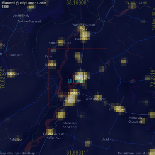
» NASA, Earths city lights 1995
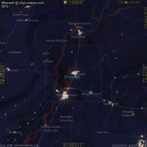
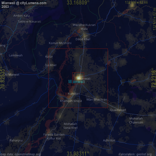
» NASA city lights 2003
» Earth at Night: Flat Maps 2012, 2016