Daud Khel night lights from space
Night Light of Daud Khel (Punjab) from space (Pakistan) Src. Average luminocity for 10x10km area is 12.7601% and for 50x50km: 0.9195%.
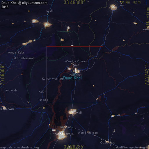
Analysis of Daud Khel night lights 2016
Square area 10x10 km:
 0.55%
0.55%90-99
3.11%80-89
2.2%70-79
0.18%60-69
3.48%50-59
2.75%40-49
0.55%30-39
0.92%20-29
1.28%10-19
2.56%0-9
82.42%Square area 50x50 km:
0.02%90-99
0.17%80-89
0.12%70-79
0.04%60-69
0.18%50-59
0.19%40-49
0.14%30-39
0.14%20-29
0.17%10-19
0.22%0-9
98.62%Clear (daylight) street map image can be seen on geolist.org.
Map coordinates:
33° 27' 50" North, 70° 52' 5" East
32° 52' 31.2" North, 71° 34' 16.2" East
32° 16' 58.3" North, 72° 16' 27.5" East
Some cities around Daud Khel sort by population:
• Mianwali
33.3 km =20.7 mi,  186°
186°
• Lakki
68.4 km =42.5 mi,  244°
244°
• Kundian
47.2 km =29.3 mi, 190°
• Lachi
60.5 km =37.6 mi,  338°
338°
• Kalabagh
9.9 km =6.2 mi,  346°
346°
• Kamar Mushani
19.9 km =12.4 mi,  259°
259°
• Harnoli
66.4 km =41.3 mi,  181°
181°
• Karak
52 km =32.3 mi,  301°
301°
1180419 (p: 26,395)
Sources (retrieved 2019-11-25):
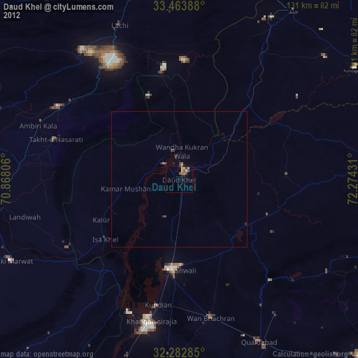
» Earth at Night: Flat Maps 2012, 2016