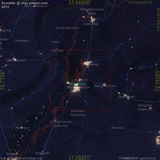
Kundian night lights from space
Night Light of Kundian (Punjab) from space (Pakistan) Src. Average luminocity for 10x10km area is 15.0055% and for 50x50km: 3.6851%.
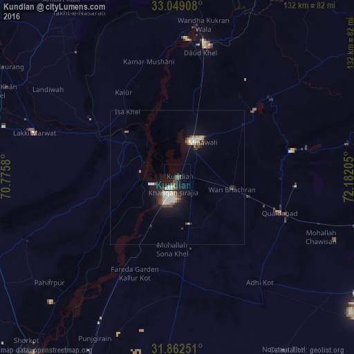
Analysis of Kundian night lights 2016
Square area 10x10 km:
 0.55%
0.55%90-99
3.85%80-89
0.73%70-79
0.73%60-69
1.1%50-59
2.01%40-49
4.58%30-39
2.2%20-29
4.76%10-19
17.22%0-9
62.27%Square area 50x50 km:
0.14%90-99
1.2%80-89
0.26%70-79
0.37%60-69
0.27%50-59
0.29%40-49
0.82%30-39
0.44%20-29
0.73%10-19
3.24%0-9
92.24%Clear (daylight) street map image can be seen on geolist.org.
Map coordinates:
33° 2' 56.7" North, 70° 46' 32.9" East
32° 27' 27.9" North, 71° 28' 44.1" East
31° 51' 45" North, 72° 10' 55.4" East
Some cities around Kundian sort by population:
• Mianwali
14.1 km =8.8 mi,  19°
19°
• Lakki
55.7 km =34.6 mi,  287°
287°
• Daud Khel
47.2 km =29.3 mi,  10°
10°
• Kalur Kot
39.1 km =24.3 mi,  210°
210°
• Paharpur
61.8 km =38.4 mi,  230°
230°
• Kalabagh
56.4 km =35 mi, 6°
• Kamar Mushani
44.2 km =27.5 mi,  345°
345°
• Harnoli
21.1 km =13.1 mi,  160°
160°
1172682 (p: 35,406)
Sources (retrieved 2019-11-25):
» Earth at Night: Flat Maps 2012, 2016