Moro night lights from space
Night Light of Moro (Sindh) from space (Pakistan) Src. Average luminocity for 10x10km area is 19.4318% and for 50x50km: 3.0972%.
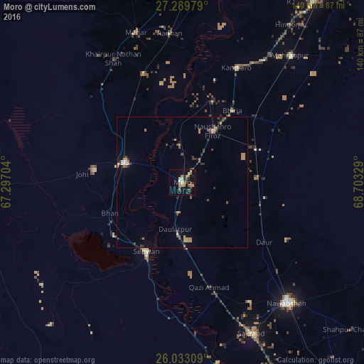
Analysis of Moro night lights 2016
Square area 10x10 km:
 0%
0%90-99
1.7%80-89
2.84%70-79
3.22%60-69
4.73%50-59
4.55%40-49
3.22%30-39
2.65%20-29
3.03%10-19
10.42%0-9
63.64%Square area 50x50 km:
0.03%90-99
0.22%80-89
0.3%70-79
0.6%60-69
0.64%50-59
0.6%40-49
0.7%30-39
0.55%20-29
0.38%10-19
0.86%0-9
95.12%Clear (daylight) street map image can be seen on geolist.org.
Map coordinates:
27° 17' 23.2" North, 67° 17' 49.3" East
26° 39' 47.4" North, 68° 0' 0.6" East
26° 1' 59.1" North, 68° 42' 11.8" East
Some cities around Moro sort by population:
• Dadu
23.4 km =14.5 mi,  288°
288°
• Sehwan
29.9 km =18.6 mi,  207°
207°
• Pad Idan
32.3 km =20.1 mi,  67°
67°
• Naushahro Firoz
23.1 km =14.4 mi,  31°
31°
• Bhan
30.1 km =18.7 mi,  247°
247°
• Daulatpur
18.2 km =11.3 mi,  189°
189°
• Darya Khan Marri
28.5 km =17.7 mi,  86°
86°
• Bandhi
31.2 km =19.4 mi,  105°
105°
1170013 (p: 76,765)
Sources (retrieved 2019-11-25):
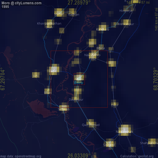
» NASA, Earths city lights 1995
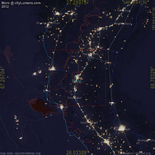
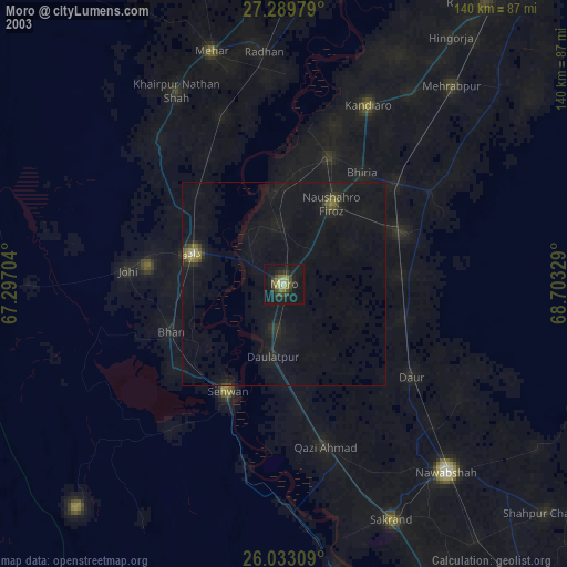
» NASA city lights 2003
» Earth at Night: Flat Maps 2012, 2016