Jaranwala night lights from space
Night Light of Jaranwala (Punjab) from space (Pakistan) Src. Average luminocity for 10x10km area is 23.9038% and for 50x50km: 8.2518%.
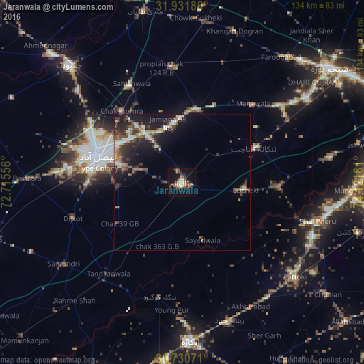
Analysis of Jaranwala night lights 2016
Square area 10x10 km:
 0.87%
0.87%90-99
6.12%80-89
1.57%70-79
2.62%60-69
3.5%50-59
2.97%40-49
5.42%30-39
4.72%20-29
2.45%10-19
20.45%0-9
49.3%Square area 50x50 km:
0.38%90-99
1.71%80-89
0.7%70-79
0.8%60-69
1.12%50-59
1.12%40-49
1.81%30-39
1.8%20-29
2.81%10-19
6.71%0-9
81.03%Clear (daylight) street map image can be seen on geolist.org.
Map coordinates:
31° 55' 54.7" North, 72° 42' 56" East
31° 19' 59.5" North, 73° 25' 7.2" East
30° 43' 50.6" North, 74° 7' 18.5" East
Some cities around Jaranwala sort by population:
• Faisalabad
32.5 km =20.2 mi,  286°
286°
• Shahkot
27.2 km =16.9 mi,  13°
13°
• Sangla Hill
42.8 km =26.6 mi,  355°
355°
• Nankana Sahib
30.3 km =18.8 mi,  64°
64°
• Chak Jhumra
34.4 km =21.4 mi,  319°
319°
• Khurrianwala
23.4 km =14.5 mi, 322°
• Mananwala
38.2 km =23.7 mi,  42°
42°
• Dijkot
42.2 km =26.2 mi,  252°
252°
1176106 (p: 119,785)
Sources (retrieved 2019-11-25):
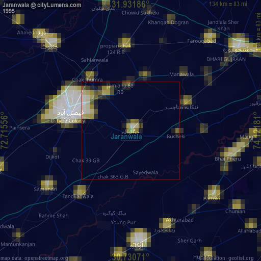
» NASA, Earths city lights 1995
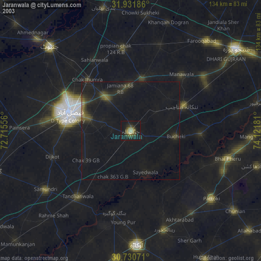
» NASA city lights 2003
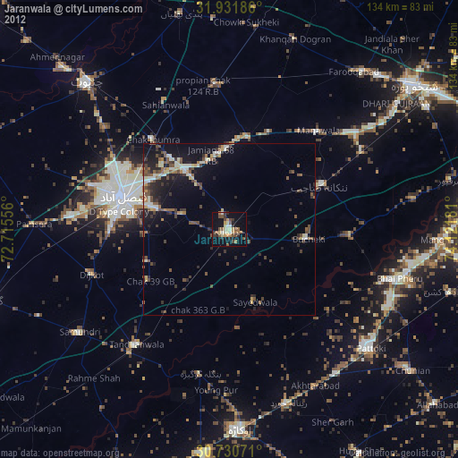
» Earth at Night: Flat Maps 2012, 2016