Shahkot night lights from space
Night Light of Shahkot (Punjab) from space (Pakistan) Src. Average luminocity for 10x10km area is 14.6836% and for 50x50km: 6.1177%.
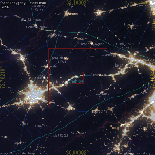
Analysis of Shahkot night lights 2016
Square area 10x10 km:
 0.52%
0.52%90-99
1.57%80-89
3.15%70-79
2.1%60-69
1.92%50-59
2.45%40-49
3.15%30-39
0.87%20-29
0.35%10-19
5.24%0-9
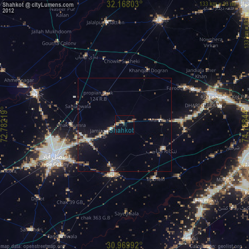
78.67%Square area 50x50 km:
0.19%90-99
1.01%80-89
0.63%70-79
0.59%60-69
0.8%50-59
0.66%40-49
1.41%30-39
1.32%20-29
1.49%10-19
5.47%0-9
86.42%Clear (daylight) street map image can be seen on geolist.org.
Map coordinates:
32° 10' 4.9" North, 72° 46' 55.9" East
31° 34' 15.2" North, 73° 29' 7.1" East
30° 58' 11.7" North, 74° 11' 18.4" East
Some cities around Shahkot sort by population:
• Jaranwala
27.2 km =16.9 mi,  193°
193°
• Sangla Hill
18.9 km =11.7 mi,  329°
329°
• Nankana Sahib
24.9 km =15.5 mi,  122°
122°
• Chak Jhumra
28.6 km =17.8 mi,  269°
269°
• Khurrianwala
22.1 km =13.7 mi,  248°
248°
• Khangah Dogran
31.9 km =19.8 mi,  23°
23°
• Mananwala
19.4 km =12.1 mi,  84°
84°
• Chak Five Hundred Seventy-five
32.7 km =20.3 mi,  95°
95°
1165569 (p: 200,000)
Sources (retrieved 2019-11-25):
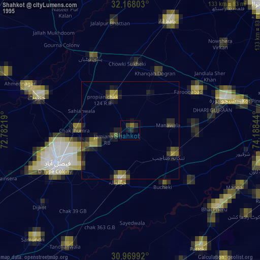
» NASA, Earths city lights 1995
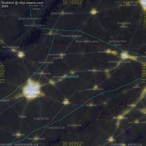
» NASA city lights 2003
» Earth at Night: Flat Maps 2012, 2016